Today, firefighters walked the perimeter of the Burnt Peak Fire allowing for more accurate information to be gathered. Firefighters used GPS points from the ground to determine that the fire is 31 acres as of this afternoon. The fire is 30 percent contained. No evacuation orders have been issued; no structures were ever threatened by this fire.
Since the early hours of this morning, fire crews have been working to strengthen the control line around the perimeter. By the end of today’s day shift, firefighters mopped up 30 feet in from the fire’s edge. Although a quarter-acre spot fire was located southwest of the main body this morning, it was quickly knocked down and will be monitored through the upcoming days.
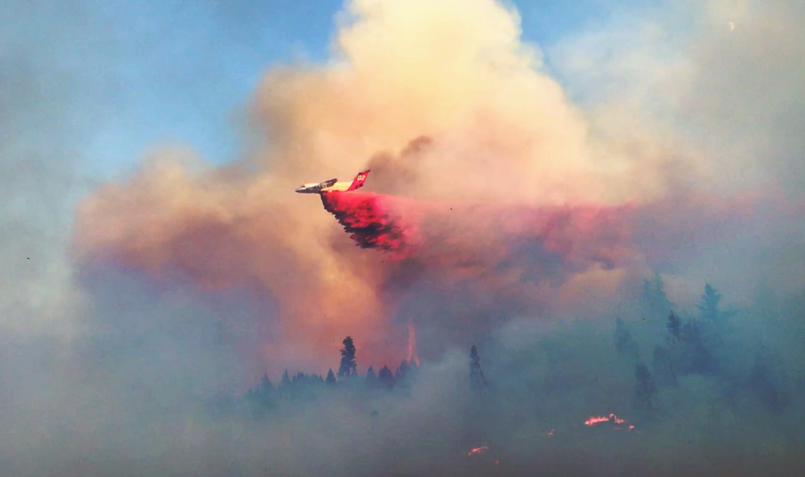
The Burnt Peak Fire located roughly 13 miles northeast of Shady Cove is burning in timber and debris on steep terrain on private property. The rugged landscape and gusty winds continue to challenge firefighters; however, the continuous coordination between ground and air attack assisted in today’s progress. One fixed-wing aircraft and three helicopters supported the fire today.
Tomorrow, firefighters will continue extensive mop up of the Burnt Peak Fire. With the triple-digit temperatures forecasted this week, crews are working to eliminate chances for flare ups. The fire was first reported Saturday around 6:15 p.m. and its cause is under investigation.
Fire management officials ask that the public continue to use caution and adhere to fire restrictions. Current regulations for lands in Jackson and Josephine Counties protected by the Oregon Department of Forestry Southwest Oregon District can be found at www.swofire.com.