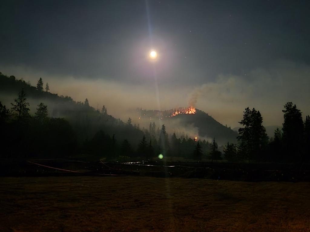
RUCH, Ore. (June 23, 2024) – Lines created by firefighters on the Upper Applegate Fire are now 95% wrapped around the entire incident, with 35% being directly at the fire’s edge. This is tremendous progress considering the terrain this fire is burning on, located just south of Ruch. Steep slopes and falling trees and rocks are continuing to challenge resources. Due to the efforts to line the fire, GPS mapping has not yet occurred on this incident; for that reason, the fire remains an estimated 500 acres.
Overnight, firefighters were able to complete strategic firing operations on the southwestern side that were first started Friday night. These efforts are the reason for the increase in direct line, and have created a much more solid barrier to protect homes in that area. Additionally, resources also worked to mop up the small portion of fire that pushed past a line in windy conditions yesterday, strengthening that area as well.
The eastern side of the fire was hiked overnight and determined that a line could not be placed directly at the fire’s edge due to large amounts of trees that are primed to fall and rocks that would hamper efforts. Today, firefighters will work on bolstering a contingency line that is slightly further back, which will now be the primary line on that portion of the fire. Applegate Valley Fire District has brought in additional resources to do structure protection, home assessments and mitigation work on properties in this area as an added protection.
More than 300 personnel are assigned to this incident today, including 13 20-person crews, four engines, five tree fallers, two bulldozers and numerous overhead. Four helicopters of various sizes are assigned to the fire again today, with additional helicopters and air tankers available when needed. Resources remain focused on completing the line, especially on the eastern side of the fire, which has been difficult to work. Another focus will be establishing water access on a high point of the southern portion of the fire by bringing in portable tanks. This will allow water to flow to various portions of the fire below and give firefighters another tool on the line.
Due to the hazards, numerous landing zones around the fire have been designated for helicopters to use, should a firefighter need to be extricated for medical attention. The safety of firefighters and the surrounding community is a top priority on this incident. The Jackson County Sheriff’s Office and Emergency Management have issued are Level 2 – BE SET evacuation notices for Zones JAC-434 and JAC-436. More information about zones and locations is available here: https://protect.genasys.com/.
This fire is affecting private, BLM and U.S. Forest Service (USFS) land on the Rogue River-Siskiyou National Forest. It was first reported in the late afternoon of Thursday, June 20. The cause of this fire is currently under investigation.
The fire danger level on the ODF Southwest Oregon District is moderate (blue) and regulations are in place. Please be aware of and follow all current restrictions to help reduce the risk of fires in our communities. Fire season information is also available online at our Facebook page: @ODFSouthwest

