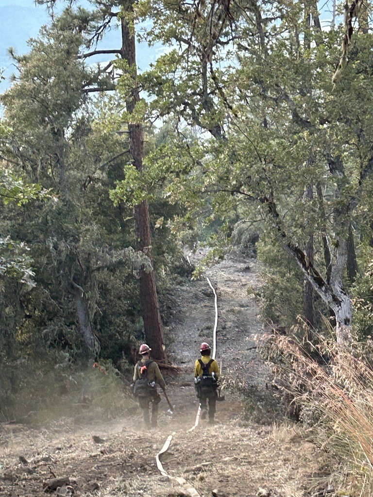
RUCH, Ore. (June 27, 2024) – Firefighters working the Upper Applegate Fire, located south of Ruch, continue to push forward and make steady progress on the incident, increasing mop-up to 15% and solidifying more direct line today, upping that number to 65%. The fire remains 100% lined when factoring both direct and indirect line, however firefighters are pushing to create as much direct line as possible. Today, the fire was GPS mapped at 937 acres, a slight increase from this morning. That change is a result of the fire naturally progressing within those established containment lines.
Today, resources assigned to the fire were able to meet their goal of mopping up 75 feet into the interior of the fire along the southern border. This work helps to solidify the lines created and prevent the fire from reigniting in hot and windy conditions in these areas by extinguishing any lingering fire or heat from remaining vegetation and coals. Tonight, an infrared (IR) flight will be conducted, which will give firefighters the ability to see which portions of the fire are continuing to hold heat and allow them to be strategic in mop-up operations this evening and tomorrow morning.
Tonight, more than 200 personnel are assigned to the fire, including seven 20-person crews, two engines, two bulldozers, and four water tenders. Aircraft will continue to fly until nightfall as needed. Strategic firing operations are planned for this evening to bolster line on the northeastern portion of the fire, which has been dangerous and challenging ground since the start of this fire. Steep terrain and falling trees have made some of these areas extremely unsafe to work in, and for that reason, indirect line was built and is now being reinforced. This will create a strong barrier between the fire and homes at the bottom of the hill.
Due to the tremendous progress on this incident, this will be the final evening update unless conditions significantly change. Beginning Friday, updates will be posted in the morning only and during the day when necessary.
Evacuation orders remain in effect, put in place by the Jackson County Sheriff’s Office and Emergency Management. Zone JAC-434 is on a Level 1 – Be Ready notice. Zone JAC-436 remains at Level 2 – Be Set. More information about zones and locations is available at: https://protect.genasys.com/.
The BLM has issued a closure order for BLM-managed lands in the fire area, including Grouse Creek Road. A map and additional information is available at https://www.blm.gov/orwafire. Additionally, fire related traffic may be impacting the Provolt area; please be aware when driving this stretch of Highway 238.
This fire is affecting private, BLM and U.S. Forest Service (USFS) land on the Rogue River-Siskiyou National Forest. It was first reported in the late afternoon of Thursday, June 20.
The fire danger level on the ODF Southwest Oregon District is moderate (blue) and regulations are in place. Please be aware of and follow all current restrictions to help reduce the risk of fires in our communities. Fire season information is also available online at our Facebook page: @ODFSouthwest

