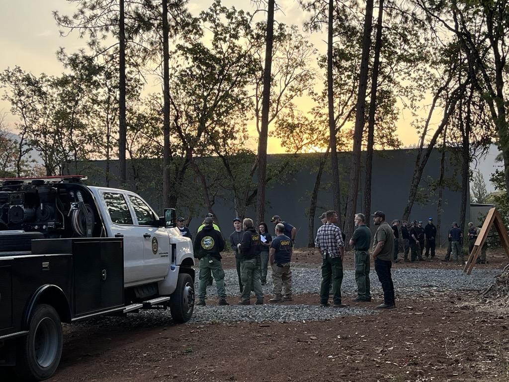
LOWER ROGUE RIVER CORRIDOR, Ore. (Sept. 4, 2025) – The Oregon Department of Forestry (ODF) Southwest Oregon District is continuing to put up an aggressive attack on fires spanning the Lower Rogue River Corridor in northwestern Josephine County following thunderstorms that moved through the area Wednesday afternoon. In all, eight fires were initially reported by a reconnaissance flight on Wednesday evening, and resources were immediately dispatched to each incident. All but one are affecting Bureau of Land Management (BLM) land:
- The Kelsey Peak Fire is currently the largest fire, estimated to be 20 and 30 acres this morning. There is no easy road access to this fire; it requires an hour and a half hike to reach it. Steep terrain is creating safety and logistical challenges for firefighters, and crews on the line witnessed a notable increase in fire behavior early this morning with tree torching and spot fires reported. This fire will be a priority for firefighters and aircraft today.
- The Bald Ridge Fire #2 was located and caught at a quarter-acre overnight. It’s currently 100% lined and 45% mopped up. Resources will work to further mop-up operations today.
- The Cold Springs Fire was caught overnight at 1/10 of an acre. Firefighters have lined and mopped up 25% of the incident and spent the rest of the evening doing extensive saw work.
- The Marial, Mule Creek, Ditch Creek, and Bald Ridge fires were all estimated to be between 1/100 and 1/10 of an acre by our recon flight last night. Firefighters spent hours hiking in these areas to find the best access, but couldn’t locate them due to steep slopes, heavy brush and vegetation, and dark conditions. Recon flights this morning will check on these fires and help guide firefighters to them if they’re visible.
- The Hewitt Creek Fire is likely on U.S. Forest Service land. Firefighters hiked around in the area but couldn’t locate the fire last night. Assistance to our partners on this incident will be provided as available today.
“Some of the toughest ground in the nation to fight fire on is in the Lower Rogue Corridor,” ODF Southwest Oregon District Forester Dan Quinones said. “With one fire reaching 20 to 30 acres overnight, that fire behavior will only pick up in the heat. We’re getting a move on this; the battle won’t get any easier than it is right now.”
Additional fires burning in these areas are on ground protected by our partners at the U.S. Forest Service Rogue River-Siskiyou National Forest and the Coos Forest Protective Association; please follow their pages for additional fire updates. Collectively as a firefighting system, our continued goal is to keep all fires as small as possible and extinguish them as fast as we can.
Numerous resource orders have been made for today and tonight’s shift, however other large-scale fires across the state are creating challenges in filling every order. Today, two 20-person crews, four engines, two sets of fallers, one water tender, a Rapid Extraction Module (REMs) medical unit and overhead will be assigned to these incidents. Aircraft assigned currently includes four helicopters: one Type 1, two Type 2 and one Type 3. Other orders have been made and not yet filled. Resource orders will continue to be made for what’s needed on the ground despite these challenges and firefighters will strategically use what’s available.
Thunderstorms continue to remain in the forecast for today, bringing the potential for gusty wind on existing incidents and new fire starts from lightning. Extreme fire danger is currently in effect on ODF-protected land in Jackson and Josephine counties; as firefighters work to extinguish these natural fire starts, help prevent new human-caused fires from sparking by following all regulations currently in place: https://swofire.com/public-fire-restrictions/. For fire information anytime, visit ODF’s Facebook page, @ODFSouthwest or website, www.swofire.com. BLM fire regulations can be found here: https://www.blm.gov/programs/fire/fire-restrictions

