
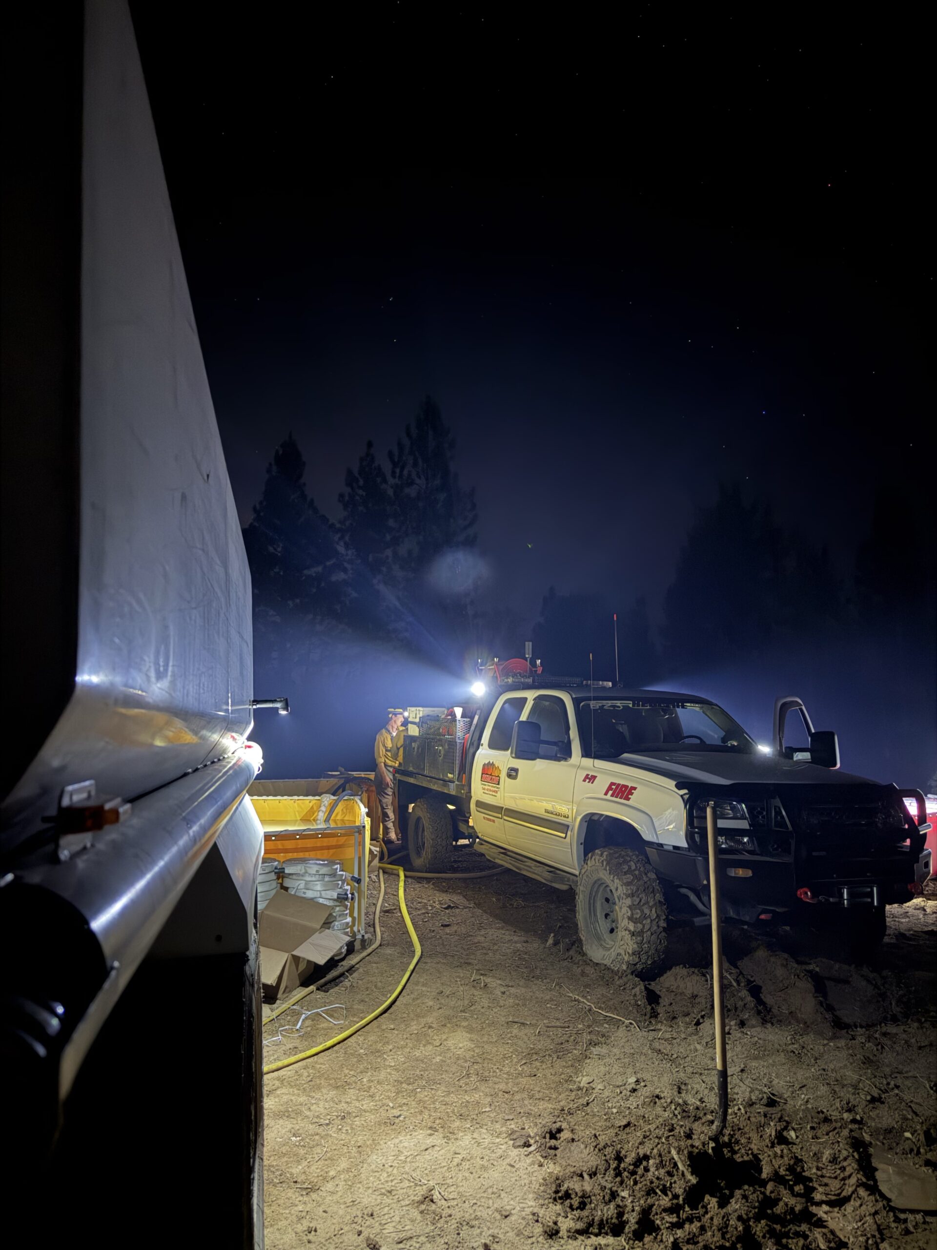
ROGUE RIVER, Ore. – Overnight, crews on the Fielder Mountain Fire, located west of Rogue River, focused on mop-up around the perimeter of the fire. Near homes firefighters have reached 300 feet of mop-up and continue to check these areas to ensure there is no heat or flames which could threaten homes. Other areas of the fire have reached 25 to 50 feet of mop-up into the interior, with today’s plan for resources to continue this work along the edge, working deeper into the fire to strengthen the fireline.
An infra-red flight overnight provided information for firefighters, identifying areas of heat which may not be visible. Today crews will use this information as they work to deepen the area of cold, black around the fire. The size of the fire is now 573 acres due to improved mapping and the infra-red information; the footprint of the fire has not changed.
Rolling rocks, logs, and other materials are a concern for firefighters as they work in steep, rugged terrain across the fire. The constructed fireline in many areas of the fire is “cupped” to catch rolling debris and reduce the potential of burning material crossing the fireline. Firefighters remain alert for any fire outside the existing line. Felling of trees and snags is ongoing, reducing overhead hazards for firefighters as they mop-up.
Terrain and poor road access is limiting water delivery for mop-up activities. Firefighters are using water efficiently to extinguish burning material as they methodically grid the area adjacent to the fireline and are using helicopters to fill portable tanks for hoselays in the challenging terrain to ensure water is available for mop-up.
Evacuation levels were reduced on Saturday as crews continued progress strengthening control lines around the fire; visit https://readyjacksonco.com/Emergency/emergency-information-hub-fielder-mountain-fire-aka-i-5-mile-marker-51-fire for current evacuation information. Livestock assistance is still available by calling (541) 864-0546.
Road closures around the fire have been lifted, however, fire personnel are still working in the area; please be aware and drive carefully if you need to be in the area.
Today temperatures will warm slightly into the low 90’s and humidity will be reduced from yesterday, with expected light winds throughout the day, increasing in late afternoon. Winds are expected to increase later in the week with potential thunderstorm activity.
Evacuations: Evacuations have been issued by the Jackson County Sheriff’s Office and Emergency Management. Up-to-date evacuations are available here: https://readyjacksonco.com/Emergency/emergency-information-hub-fielder-mountain-fire-aka-i-5-mile-marker-51-fire
Find your evacuation zone here: https://protect.genasys.com/en
Road/Land Closures: All road closures around the fire have been lifted. All road closure information is available on https://tripcheck.com/
Smoke Impacts: Smoke from the Fielder Mountain Fire may settle into valleys and other low-lying areas, reducing visibility and impacting air quality in nearby communities. Individuals sensitive to smoke should take appropriate precautions. For current air quality information and smoke forecasts, visit: https://fire.airnow.gov/
Temporary Flight Restriction (TFR): A “TFR” is in place for the fire area daily (24 hours) until further notice. Complete information is available at https://tfr.faa.gov/tfr3/?page=detail_6_5072
Flying a drone near or around a wildfire is illegal, compromises the safety of both pilots and firefighters, and interferes with firefighting efforts.
Cause: The fire started on Thursday, August 13 shortly after 3 p.m. Initial reports indicated tires on a semi-truck were on fire and flames had spread to nearby vegetation; the official cause remains under investigation.