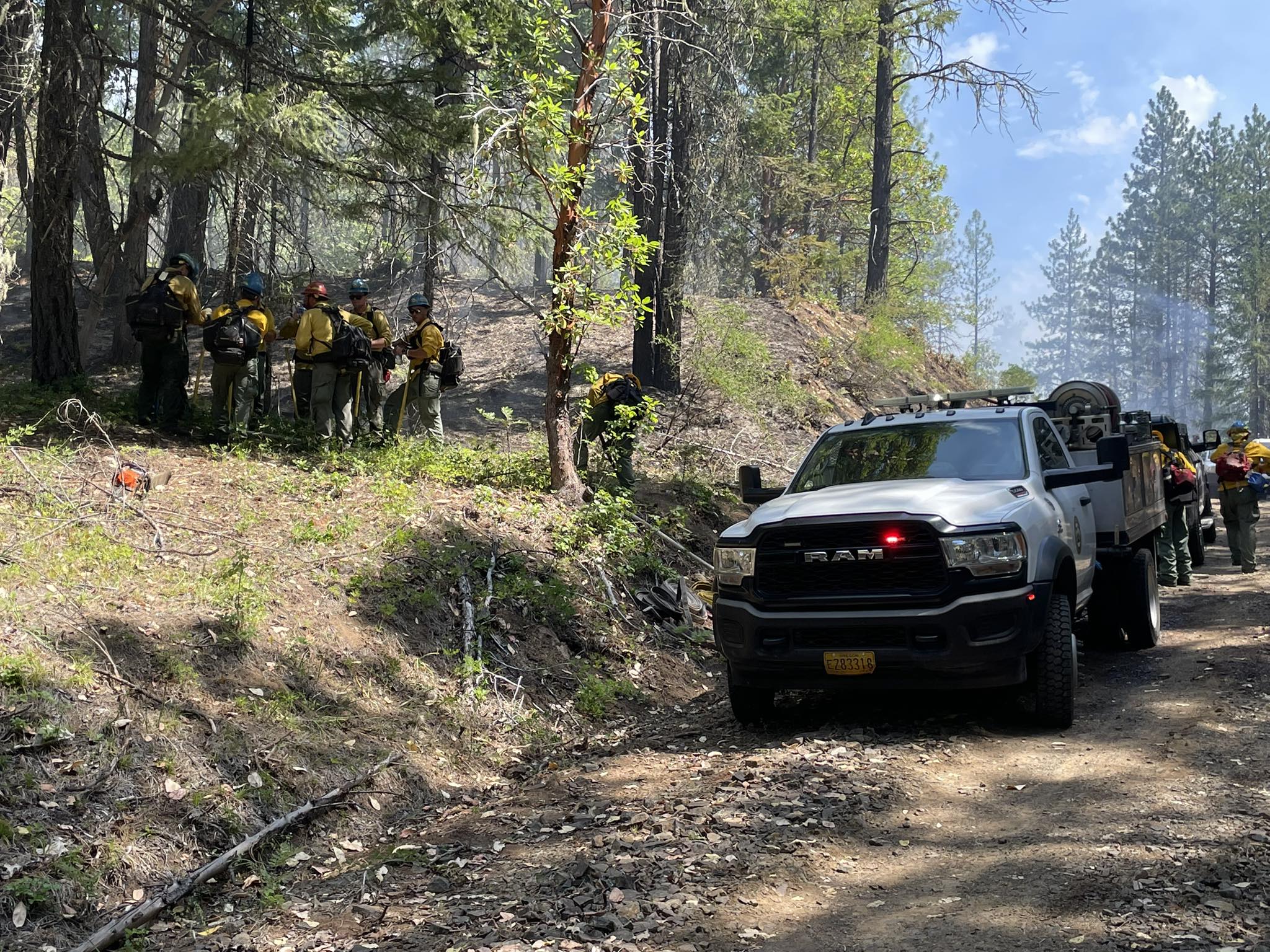
JACKSON COUNTY, Ore. (July 1, 2025) – Firefighters with the Oregon Department of Forestry (ODF) Southwest Oregon District responded to 15 reports of fire on Tuesday following thunderstorms throughout the region on Monday night. In total, ODF firefighters found and confirmed 10 fires from the 15 reported. ODF resources worked with federal partners at the U.S. Forest Service (USFS) Rogue River-Siskiyou National Forest and Bureau of Land Management (BLM) in response to these fires, and as a result, all fires are either completely extinguished or are fully lined and holding in their current footprint. This teamwork is a direct reflection of the complete and coordinated fire response system in place here in southern Oregon.
Numerous resources were used early Tuesday morning to gather data on these incidents, including drone flights, reconnaissance flights with various aircraft and ODF’s Detection Center cameras. ODF has a goal of extinguishing all fires as quickly as possible and as small as possible; between the technology and aircraft used, as well as firefighters patrolling in their areas, all fires were located quickly, and resources were dispatched immediately to each report. As a direct result of this work and aggressive initial attacks, the largest fire was caught at 12 acres.
The following is a current look at incident status, listed by size:
- East Trail Creek Road Fire, located north of Trail near the 6000-block of Highway 227. With a mix of helicopters, air tankers and ground resources, the fire was caught at 12 acres and is 100% lined. Firefighters are continuing to work on mop-up operations. Resources have been ordered for an overnight shift, including three 20-person crews, 10 engines, a water tender and a bulldozer. Aircraft is available as needed until sundown.
- Alder Creek Fire, located northwest of Prospect on private and USFS land. Holding at two acres, turned over to USFS for continued mop-up operations.
- Hibbard Creek Fire, located northwest of Prospect on private and USFS land. Holding at a half-acre, mop-up ongoing.
- Star Gulch Fire, located on remote terrain southeast of Williams. Stopped at a quarter-acre, 100% lined and mopped up.
- Beaver Dam Fire, located along Big Elk Road south of Fish Lake. Stopped at 1/10 of an acre on USFS land, 100% lined and mopped up.
- Daily Creek Fire, located on USFS land south of Fish Lake. Stopped at 1/10 of an acre. Firefighters lined 100% of the fire and mopped up 75% before handing it over to USFS resources.
- Summit Prairie Fire, located southeast of Lost Creek Lake. Caught at 1/100 of an acre, 100% lined and mopped up.
- Mule Creek Fire, located southeast of Lost Creek Lake. Caught at 1/100 of an acre, 100% lined and mopped up.
- Laurelhurst Fire, located on the southeastern shore of Lost Creek Lake. Firefighters were able to stop the fire at 1/100 of an acre, 100% lined and mopped up.
- Halls Point Fire, located northwest of Prospect on USFS land. Stopped at 1/100 of an acre, 100% lined and turned over to the Forest Service.
Firefighters responded to an additional five reports of fire, but didn’t find any smoke or fire while searching in the area. A reconnaissance flight at 3 p.m. didn’t yield any additional smoke reports over strike areas. The ODF Southwest Oregon Detection Center will continue to monitor cameras in these areas and report any smoke found. A recon flight is planned for Wednesday morning to go over the same areas and any potential new strike areas overnight.
At 12:01 a.m. on Wednesday morning, High fire danger will go into effect on ODF-protected land in Jackson and Josephine counties; as firefighters work to extinguish these natural fire starts, help prevent new human-caused fires from sparking by following all regulations currently in place: https://swofire.com/public-fire-restrictions/
For fire information anytime, visit our Facebook page, @ODFSouthwest or our website, www.swofire.com.

