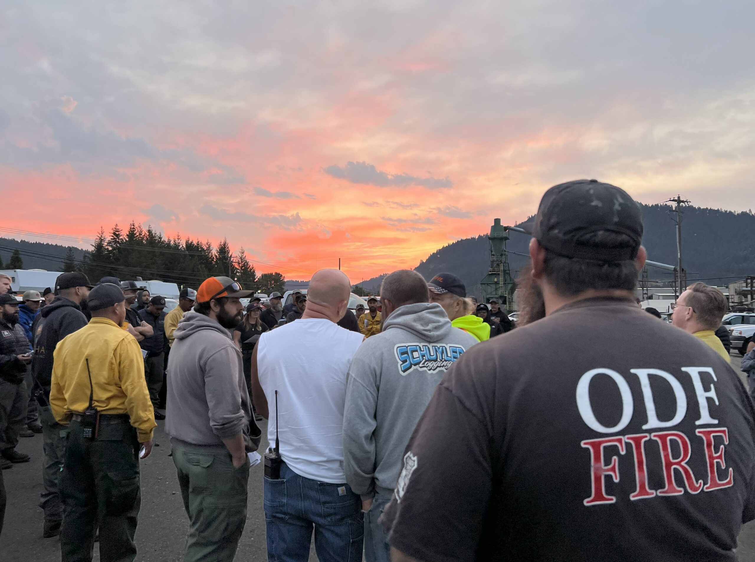
LOWER ROGUE RIVER CORRIDOR, Ore. – Oregon Department of Forestry’s (ODF) Complex Incident Management Team 1, Incident Commander Dan Quinones, assumed command of the Kelsey Peak Fire today at 6:00 a.m. Resources from the Bureau of Land Management (BLM) Medford District and ODF’s Southwest Oregon District have made significant progress constructing containment lines on the Kelsey Peak Fire since it was sparked by lightning last week. The fire is burning on BLM administered lands in rugged terrain with dense vegetation, limited access, and large overstory trees north of the Rogue River along the Kelsey Creek drainage.
Transitioning command of the fire to Team 1 brings additional capacity and resources to the incident and allows local firefighters to rest and be available to respond to new fires. The weather forecast for the week includes cooler temperatures, precipitation and the threat of more lightning.
Fire crews today will take advantage of the cooler, damp weather to further strengthen existing control lines, identify potential features and points to establish direct control lines, and building line adjacent to the fire’s edge, minimizing fire size. Smoky conditions have limited the use of aircraft on the fire over the last several days, as conditions allow, they will be used to support firefighters on the ground. Eight helicopters are assigned to the incident.
On the west side of the fire, control lines will be extended with bulldozers south from BLM Road 32-9-14.2, while firefighters look for opportunities to build direct line along the southern edge of the fire. Overnight, access to the northeast corner of the fire was improved as bulldozers worked to open a roadway for firefighter travel. Better access to this area of the fire will allow construction of direct control line along the northern edge of the fire and the east side of the fire working south toward the East Fork of Kelsey Creek.
“We have a window of opportunity to take strong action on the fire,” commented Incident Commander Quinones during the day shift planning meeting. “Moderated fire behavior will allow us to go after the fire in its existing footprint.”
While focusing on the full suppression operational objectives of the incident, special consideration will be given to the protection of cultural and historic resources in the area, public and firefighter safety, and minimizing impacts to the natural characteristics of the Rogue River and its tributaries. The Rogue River remains open for permitted boaters, however firefighting activities in the area could cause delays.
Firefighting resources from the Kelsey Peak Fire are available to support local agency’s initial attack of new wildfires.
Closures: The Rogue River Trail is closed from Horseshoe Bend to Flora Dell. A temporary closure of a portion of the Grave Creek to Marial Backcountry Byway (BLM Road 32-9-14.2) has been implemented by the BLM Grants Pass Field Office. The public is strongly encouraged to avoid the entire Byway to facilitate safe firefighter access on the steep, narrow, windy road. Members of the public may not enter closed areas, and all uses—including hiking, hunting and dispersed camping—are prohibited. Please see the map for full closure information on the BLM website: https://www.blm.gov/programs/public-safety-and-fire/fire-and-aviation/regional-info/oregon-washington/fire-restrictions.
Evacuations: The Curry County Sheriff’s Office issued a Level 3 – GO NOW evacuation order for the area of Rogue River Ranch, Tucker Flat Campground and the nearby area of Marial. The Josephine County Sheriff’s Office and Emergency Management issued a Level 1 – BE READY evacuation notice Zone JCU-801. More info: https://tinyurl.com/KelseyPeakEvacs
Temporary Flight Restriction (TFR): A “TFR” is in place at an altitude from the surface up to and including 7,000 feet, daily (24 hours) until further notice. Complete information is available at https://tfr.faa.gov/tfr3/?page=detail_5_8274. Flying a drone near or around a wildfire compromises the safety of pilots and interferes with firefighting efforts.

