September 7, 2022
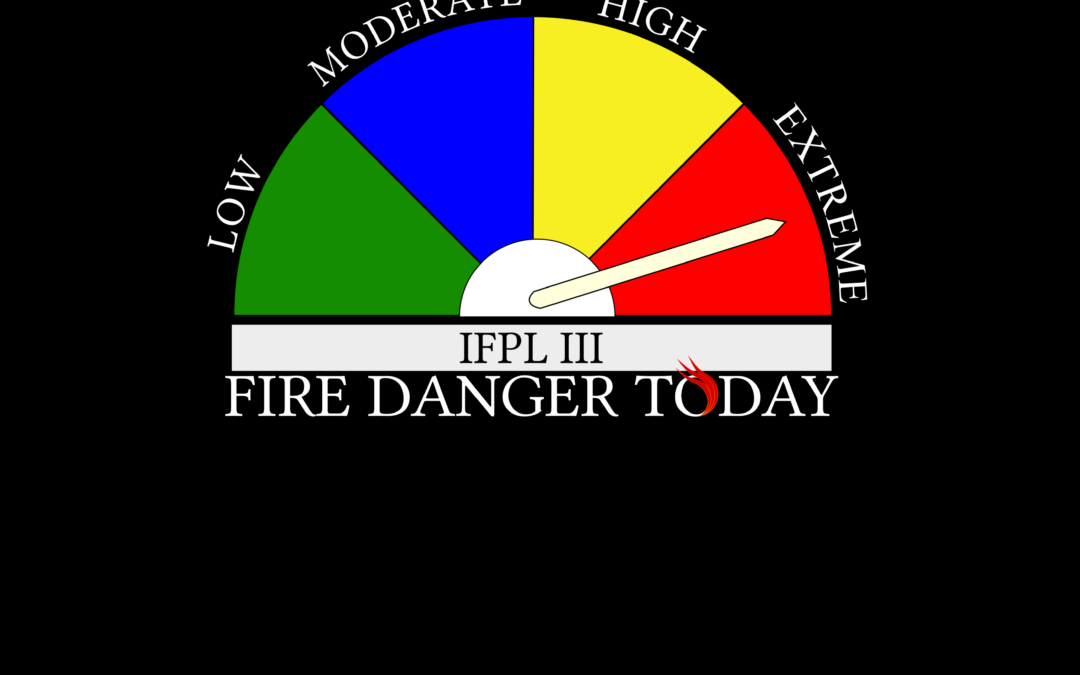
JACKSON & JOSEPHINE COUNTIES, Ore. (Sept. 7, 2022) – Dry fuels and dangerous fire weather patterns forecasted across forestlands protected by the Oregon Department of Forestry’s Southwest Oregon District has made it necessary to increase the fire prevention measures on industrial operations, such as logging sites and other commercial operations. As a result, Industrial Fire Precaution Level III (IFPL 3) will take effect Thursday, September 8, 2022 at 12:01 a.m. This regulation increase impacts industrial operations in Jackson and Josephine counties only.
For the general public, ODF Southwest’s fire restrictions remain in effect and unchanged with a fire danger level of “extreme” (red).
Under IFPL III, the following are prohibited between 1:00 p.m. – 8:00 p.m.:
- Power saws at loading sites;
- Loading or hauling of any product or material;
- Blasting;
- Welding, cutting, or grinding of metal;
- Any other spark emitting operation not specifically
In addition, the following are permitted to operate overnight to the morning, between the hours of 8:00 p.m. and 1:00 p.m., where mechanized equipment capable of constructing fire line is immediately available to quickly reach and effectively attack a fire start:
- Ground-based operations (tractor/skidder, feller-buncher, forwarder, or shovel logging operations);
- Power saws on ground-based operations;
- Rotary head saw feller-bunchers with a continuous Firewatch;
- Non-rotary head saw feller-bunchers;
- Tethered logging – winch-assisted, cable-assisted, traction-assisted, etc. systems, which enable ground- based timber harvesting machines to operate on steep slopes
This is considered a restricted shutdown and the following activities are not permitted at any time, except as noted:
- Cable yarding systems, except that gravity operated logging systems using non-motorized carriages or approved motorized carriages may operate between 8:00 p.m. and 1:00 p.m., when all blocks and moving lines are suspended at least 10 feet above the ground (except the line between the carriage and the chokers).
For more information about the Oregon Department of Forestry’s fire season public and industrial restrictions, visit our website, www.swofire.com, our Facebook page @ODF Southwest Oregon District, or call the Southwest Oregon District unit office nearest to you:
- Medford Unit, 5286 Table Rock Rd., Central Point | (541) 664-3328
- Grants Pass Unit, 5375 Monument Dr., Grants Pass | (541) 474-3152
September 7, 2022
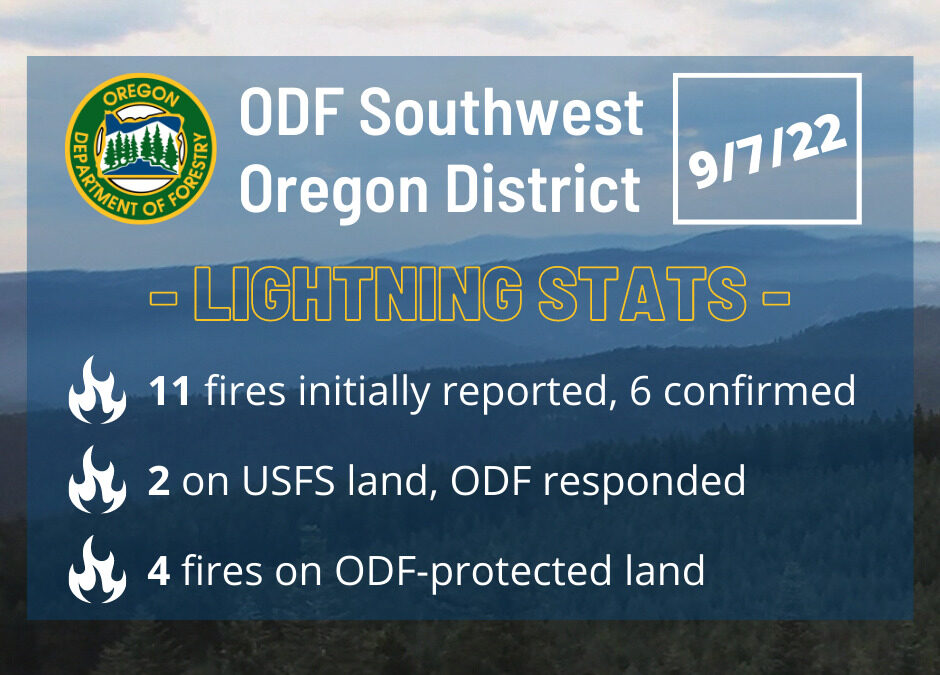
JACKSON COUNTY, Ore. (Sept. 7, 2022) – Firefighters have spent most of Wednesday aggressively engaged on numerous fires across the Oregon Department of Forestry Southwest Oregon District’s protection area within the Medford Unit in Jackson County following early morning thunderstorms. The majority of lightning strikes landed on the east side of the county, although a few were recorded in the valley near Talent.
While 11 fires were reported throughout the morning, five were either duplicate reports or not smoke or fire. Two were on Forest Service land, which we responded with our federal partners to, affecting both the Klamath National Forest and the Rogue River Siskiyou National Forest. The final four reports were found to be legitimate fires on our protection area, three affecting Bureau of Land Management (BLM) land and one on private:
- The Coon Creek Fire, located to the southeast of Lake Creek Reservoir on private land. This fire was caught at 1/10th of an acre. It is 100% lined and mopped up.
- The Conde Creek Fire, located to the northwest of Howard Prairie Lake on BLM land. This fire was caught 1/100th of an acre. It is 100% lined and mopped up.
- The Clarks Creek Fire, located to the southeast of Lost Creek Lake on BLM land. This fire was caught at 1/100th of an acre. It is 100% lined and mopped up.
- The North Fork Clark Creek Fire, located near to the north of the Clark Creek Fire on BLM land. This fire was caught at 1/10th of an acre. It is 100% lined and mopped up.
Several reconnaissance flights by our fixed wing air attack platform have been conducted across the areas affected by lightning; we’ll continue to monitor areas where lightning struck by air, ground and our extensive camera detection system. Additional thunderstorms remain in the forecast for the remainder of the day on Wednesday, with a red flag warning and heat advisories taking effect across areas of the district through the end of the week.
Firefighters throughout southern Oregon are dedicated to protecting our counties and aggressively attacking fires. ODF appreciates the support of our partner agencies and communities as we continue to be vigilant through the end of fire season. Fire information is always available on our Facebook page @ODF Southwest Oregon District.
August 24, 2022
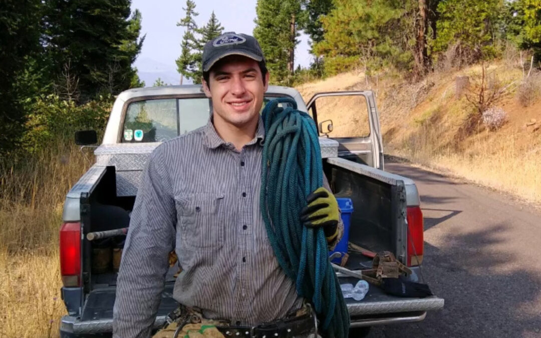
MEDFORD, Ore. (Aug. 24, 2022) – Wildland firefighter Logan Taylor, who died battling the Rum Creek Fire, will be honored early next week in a public memorial service. The service will be held Monday, August 29 at 10 a.m. at Harry and David Field, 2929 S. Pacific Highway in Medford, donated by the Medford Rogues baseball team. Members of the public who wish to honor Logan Taylor are invited to attend.
Taylor, 25, of Talent, Oregon, was the owner and operator of Sasquatch Reforestation, a local forestry company. On Thursday, August 18, 2022, Taylor was struck by a tree while working on the Rum Creek Fire outside of Grants Pass, Oregon. Jackson County Sheriff’s Office Search and Rescue (SAR) immediately deployed a helicopter and personnel to the fire and airlifted Taylor out of the mountainous terrain to an awaiting Mercy Flights helicopter, which transported him to Asante Rogue Regional Medical Center in Medford. Despite lifesaving efforts by firefighters and EMS personnel assigned to the fire and responding medical staff, Taylor succumbed to his injuries. The incident is under investigation and more details will be released as they are confirmed.
The family wishes to thank the community and local fire service for their thoughts, prayers and support through this difficult time. Cards for Taylor’s family may be sent to the Oregon Department of Forestry Central Point Office:
Oregon Department of Forestry
Southwest Oregon District
Re: Logan Taylor
5286 Table Rock Rd.
Central Point, OR 97502
August 22, 2022
JACKSON & JOSEPHINE COUNTIES, Ore. (Aug. 22, 2022) – Significant progress has been made on the fires within the Westside and Lightning Gulch Complexes, located in Jackson and Josephine Counties respectively. Since Wednesday’s thunderstorm, approximately 50 fires resulted following lightning strikes across both counties. Windy conditions that were expected to test fire lines today did not break any perimeters and all lines are holding strong. Mop-up operations are steadily continuing and fire activity is extremely limited to none.
On the Westside Complex, there were originally eight fires burning on and around Tallowbox Mountain in the Applegate Valley. Of those, only three remain in mop-up status; 180 acres were burned total on this complex. On the Lightning Gulch Complex, 40 plus fires were reported following the storms, the only fires that remain active are the Rum Creek and Hog Creek Fires. The command of these two fires have been transferred to Pacific Northwest Incident Management Team 13. For future updates on these two incidents, follow https://www.facebook.com/rumcreekfire2022.
Today on the Chapman Fire, an adult in custody firefighter suffered a medical emergency and needed to be removed from the fire line. Jackson County Sheriff’s Office Search and Rescue dispatched their contracted helicopter to the incident and short-hauled the firefighter to the road when the individual was taken by Mercy Flights to a local hospital. The firefighter’s condition is unknown at this time.
When mop-up operations on the fires conclude, firefighters will be conducting suppression repair activities on these incidents. The objective of suppression repair is to mitigate any adverse effects to the land, water and property resources directly resulting from fire suppression activities. Primary suppression repair needs are erosion control, preventing the establishment of noxious weeds, preventing public access into the burn area vis vehicles and/or OHVs, and clean-up of refuse from suppression activities.
No homes were ever directly threatened, despite the large number of fires on the landscape, and no evacuation orders were ever placed. Oregon Department of Forestry and the Bureau of Land Management would like to thank our partner agencies who dedicated time and resources to help suppress these fires.
Due to the status of these fires, this will be the final update unless conditions significantly change. Fire information is always available on our Facebook page @ODF Southwest Oregon District.
August 22, 2022
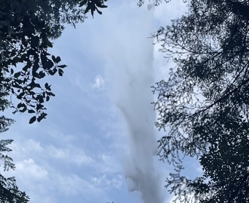
JACKSON & JOSEPHINE COUNTIES, Ore. (Aug. 22, 2022) – Fire behavior within the Westside Complex remained minimal overnight. While the larger fires, Ladybug, Keeler and Tallowbox, still have small islands of activity, all smokes are well within the interior of established containment lines, with little risk of spreading further. Full mop-up operations will continue over the next several days to prevent embers or other burning debris from crossing containment lines. The task of mopping up begins with professional timber fallers removing snags and other hazardous trees that will allow hand crews safe access into each fire’s interior to extinguish hot spots, much like dousing a smoldering campfire.
The Rum Creek and Hog Creek Fires now under the management of PNW IMT 13. For future updates on these two incidents, follow https://www.facebook.com/rumcreekfire2022
Increased winds are once again forecasted for later this afternoon; aircraft, including helicopters will likely be utilized to assist ground resources and prevent flare-ups. Winds are expected out of the northwest that could carry smoke from the fires into the southern part of the valley. Cooler temperatures and higher humidity are also expected today that could reduce fire behavior.
No homes are threatened, and no evacuation orders have been placed. Please be aware of any potential changes and follow Jackson County Emergency Management, Jackson County Sheriff’s Office, Josephine County Emergency Management and the Josephine County Sheriff’s Office for any evacuation information.
New starts from human-caused fires continue to be minimal. ODF fire managers and our partners appreciate the attention to fire prevention. The district remains in extreme fire danger with many fire-prone activities prohibited; a current list of regulations is available on https://swofire.com/. If your plans include traveling to other parts of the state, please visit https://www.oregon.gov/odf/fire/pages/restrictions.aspx to learn about fire restrictions in those areas.
Fire information is always available on our website, www.swofire.com or our Facebook page @ODF Southwest Oregon District.
August 21, 2022
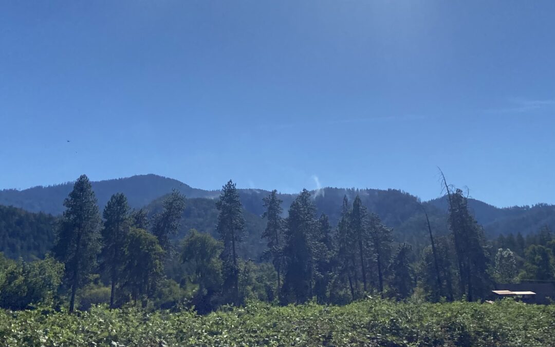
JACKSON & JOSEPHINE COUNTIES, Ore. (Aug. 21, 2022) – Despite windy conditions that threatened control lines, all perimeters remained strong and intact today, allowing firefighters to meet their goal for the day. The teamwork between air and ground resources prevented all fires from spotting over lines, and while some aircraft were utilized, the majority of their work was keeping the interiors of fires in check. All fires within the Westside Complex are in full mop-up operations. There are currently 593 personnel assigned to the Westside Complex split between day and night shift. Personnel include 33 crews, 18 timber fallers, 43 engine and equipment operators, and 23 overhead personnel.
In Josephine County, fires within the Lightning Gulch Complex still under ODF management are fully lined and in mop-up, including the two holdover fires discovered Saturday evening in the Jack Creek area. Northwest Incident Management Team 13 is now overseeing the Rum Creek and Hog Creek fires. For more information on those fires visit https://www.facebook.com/rumcreekfire2022 or on Inciweb at https://inciweb.nwcg.gov/incident/8348/.
No homes are threatened, and no evacuation orders have been placed. Please be aware of any potential changes and follow Jackson County Emergency Management, Jackson County Sheriff’s Office, Josephine County Emergency Management and the Josephine County Sheriff’s Office for any evacuation information.
New starts from human-caused fires continue to be minimal. ODF fire managers and our partners appreciate the attention to fire prevention. The district remains in extreme fire danger with many fire-prone activities prohibited; a current list of regulations is available on https://swofire.com/. If your plans include traveling to other parts of the state, please visit https://www.oregon.gov/odf/fire/pages/restrictions.aspx to learn about fire restrictions in those areas.
As a reminder, the Bureau of Land Management has closed the Rainie Falls Trail until further notice. Please help us protect firefighters and first responders by avoiding Galice Road and the Grave Creek area. The BLM is encouraging recreational boaters to avoid the river between Hellgate Canyon and Grave Creek.
Fire information is always available on our Facebook page @ODF Southwest Oregon District.
August 21, 2022
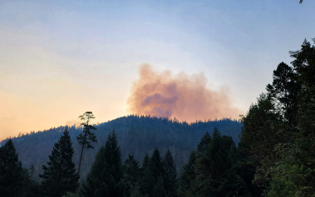
JACKSON & JOSEPHINE COUNTIES, Ore. (Aug. 21, 2022) – Of the 50 plus lightning-caused fires from the August 17th thunderstorm that peppered Jackson and Josephine counties, just one fire, Rum Creek, remains without a complete containment line. The Rum Creek fire is currently estimated at about 100 acres. Collectively, the fires from the Westside and Lightning Gulch complexes have burned a little over 300 acres with Rum Creek (100), Ladybug (87), Keeler (60, pictured) and Tallowbox (26) being the largest.
Pacific Northwest Incident Management Team 13, led by Incident Commander Brian Gales, officially took command of the Rum Creek and Hog Creek fires within the Lightning Gulch Complex this morning. An official Facebook page has been created for these two incidents and all future updates will be posted here: https://www.facebook.com/rumcreekfire2022.
Local resources will continue to mop-up and patrol the other smaller fires in the area. Crews are also working on two lightning-caused holdover fires discovered early last night in the Jack Creek area. Each of the two fires is less than two acres in size. While a third fire was initially reported, crews have not been able to locate it; resources assigned to the other two incidents will be able to provide a swift response should the third fire not be a duplicate report.
Increased winds forecasted for this afternoon are expected to test established fire lines as crews continue the mop-up process. No homes are threatened, and no evacuation orders have been placed. Please be aware of any potential changes and follow Jackson County Emergency Management, Jackson County Sheriff’s Office, Josephine County Emergency Management and the Josephine County Sheriff’s Office for any evacuation information.
Firefighter success over the past week can be attributed to many things, including quick and efficient response by initial attack resources, the availability of resources at the height of fire season, and cooperating weather. The vigilance of our local communities has been just as critical in the prevention of human-caused fires that has allowed firefighters to focus on non-preventable lightning-caused fires. To date, Oregon Department of Forestry’s Southwest Oregon District has responded to 131 human-caused fires that have burned just 71 acres this year, compared to our 10-year average of 164 human-caused fires for 520 acres. These efforts have not gone unnoticed, and we appreciate the partnerships we have with our communities in keeping human-caused fires off our landscape; it has been truly appreciated over the last couple days, especially.
As a reminder, the Bureau of Land Management has closed the Rainie Falls Trail until further notice. Please help us protect firefighters and first responders by avoiding Galice Road and the Grave Creek area. The BLM is encouraging recreational boaters to avoid the river between Hellgate Canyon and Grave Creek.
Fire information is always available on our Facebook page @ODF Southwest Oregon District.
August 20, 2022
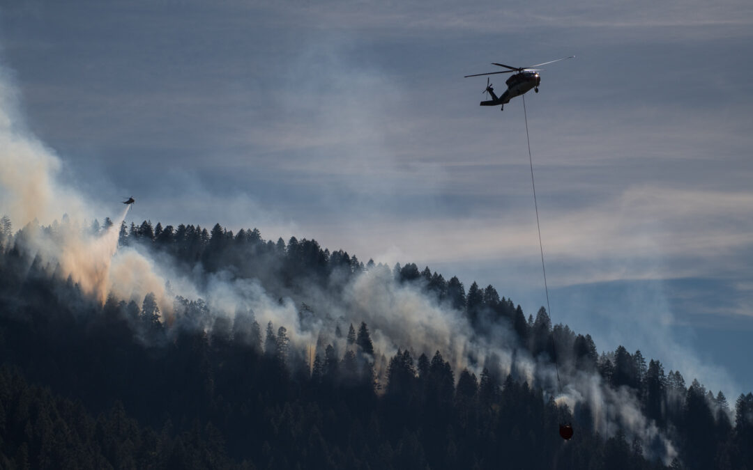
JACKSON & JOSEPHINE COUNTIES, Ore. (Aug. 20, 2022) – Firefighters across Jackson and Josephine Counties continue to make steady progress on the Westside and Lightning Gulch Complexes. Crews completed fire line on several fires and are continuing mop-up operations across numerous incidents. In all, more than 50 reported lightning-caused fires from both complexes have burned a little over 300 acres.
Firefighters in Jackson County were able to meet their goal today, lining all fires within the Westside Complex. While crews have finished mopping up about half of the fires in the complex, mop-up operations are just getting underway on the Ladybug (87 acres), Keeler (60 acres) and Tallowbox (26 acres) fires. With containment lines completed, these numbers are expected to be their final sizes.
The Rum Creek Fire, located just north of Galice in Josephine County, is the lone fire within the Lightning Gulch Complex without established containment lines. The fire is estimated to be about 100 acres in size. Pacific Northwest Incident Management Team 13, led by Incident Commander Brian Gales, has arrived, and will take command of Rum Creek and the Hog Creek Fire in the morning. Local resources will continue to mop-up and patrol the other smaller fires in the area. Three additional fires came to life in the Jack Creek area around 7:00 p.m. this evening. These new holdover fires from Wednesday evening’s thunderstorm are being handled quickly by responding crews in the area, each less than 1/10 of an acre in size.
No homes are threatened, and no evacuation orders have been placed. Please be aware of any potential changes and follow Jackson County Emergency Management, Jackson County Sheriff’s Office, Josephine County Emergency Management and the Josephine County Sheriff’s Office for any evacuation information.
The Bureau of Land Management has closed the Rainie Falls Trail until further notice. Please help us protect firefighters and first responders by avoiding Galice Road and the Grave Creek area. The BLM is encouraging recreational boaters to avoid the river between Hellgate Canyon and Grave Creek.
Fire information is always available on our website, www.swofire.com or our Facebook page @ODF Southwest Oregon District.
August 20, 2022
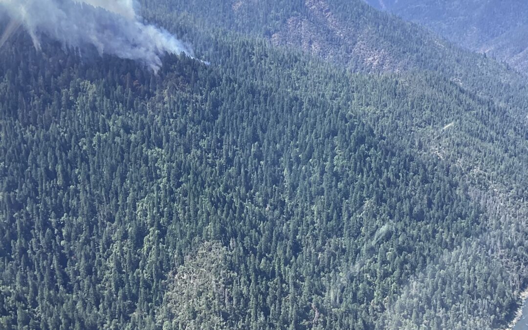
JACKSON & JOSEPHINE COUNTIES, Ore. (Aug. 20, 2022) – Of the 54 fires ignited by Wednesday evening’s thunderstorm, the vast majority are extinguished. The Rum Creek Fire is currently posing the most challenges for firefighters, located north of Galice. Resources remain dedicated to the Westside Complex in Jackson County and the Lightning Gulch Complex in Josephine County. In all, over 800 firefighters are assigned to the two complexes, made up of 40 hand crews, 23 engines, 4 dozers and 8 helicopters.
The Rum Creek Fire, which is part of the Lightning Gulch Complex, is an estimated 75 acres. With terrain described by some firefighters as a mini-Grand Canyon, gaining access to corral the fire has remained the toughest test. Equipment operators were able to establish a dozer line at the top of the fire, where hand crews are working to tie into. Nearly 200 firefighters will continue to establish control lines along the fire’s perimeter while aircraft work to keep the edges cool in efforts to slow the fire’s spread. A Type 2 Incident Management Team has been ordered to alleviate pressure on local crews and free up resources for any new fire starts that may pop up. The team will arrive this afternoon for an in-brief and is expected to take command Sunday morning. The Hog Creek Fire, located north of Merlin, is completely lined and is holding at 26 acres. About 100 firefighters will focus on mop-up today under favorable weather conditions.
In Jackson County, fires within the Westside Complex are also fairing well. The Ladybug and Keeler fires are the two largest in the complex estimated at 80 and 60 acres respectively. Today’s goals are to line both fires this afternoon and begin mop-up operations. The Tallowbox Fire is 25 acres and is 90 percent lined.
No homes are threatened, and no evacuation orders have been placed. Please be aware of any potential changes and follow Jackson County Emergency Management, Jackson County Sheriff’s Office, Josephine County Emergency Management and the Josephine County Sheriff’s Office for any evacuation information.
The Bureau of Land Management has closed the Rainie Falls Trail until further notice. Please help us protect firefighters and first responders by avoiding Galice Road and the Grave Creek area. The BLM is encouraging recreational boaters to avoid the river between Hellgate Canyon and Grave Creek.
Fire information is always available on our Facebook page @ODF Southwest Oregon District.
August 19, 2022
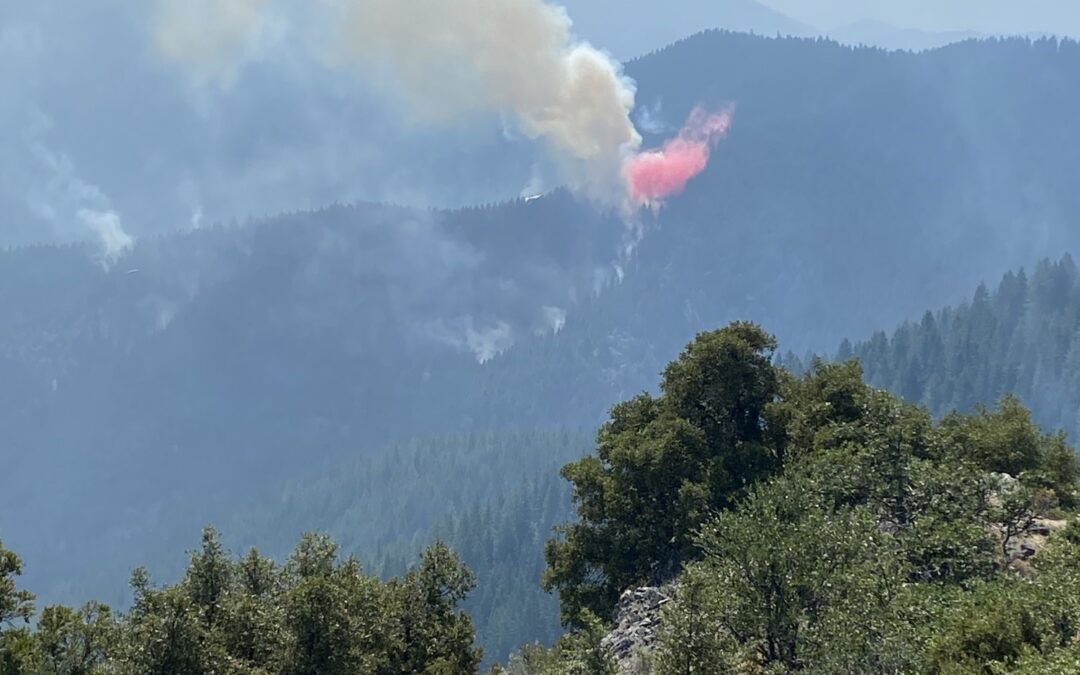
JACKSON & JOSEPHINE COUNTIES, Ore. (Aug. 19, 2022) – Firefighters continue to make progress on the Westside and Lightning Gulch Complexes in Jackson and Josephine counties. The National Weather Service reported Wednesday evening’s thunderstorm resulted in about 230 lightning strikes in the area, leading to more than 50 fires within Oregon Department of Forestry’s Southwest Oregon District. These incidents are affecting both private and Bureau of Land Management (BLM) Land. Detection aircraft identified 10 additional holdover fires this morning, the largest being the Big Water Branch Fire, which was stopped at three acres.
The majority of fires within the Westside Complex on Tallowbox Mountain south of Applegate are lined and in full mop-up. The two largest fires, Keeler and Ladybug Gulch, are estimated at 60 and 70 acres respectively. Firefighters have a goal of completing both fire lines by Saturday afternoon. A firefighter sustained a minor injury today on the Ladybug Gulch Fire. The firefighter was treated and released. Safety remains a top priority for all firefighters; fire line supervisors are regularly communicating safety briefings and messages to firefighters, and working together to identify and mitigate potential hazards and unsafe situations.
In Josephine County, the Hog Creek and Rum Creek fires remain priorities on the Lightning Gulch Complex. The Hog Creek Fire stands at 26 acres and is fully lined. The Rum Creek Fire, situated in rocky, steep terrain, poses the biggest challenge and is now estimated to be 60 acres in size with no containment. Air tankers and helicopters spent much of the day holding it in check while crews worked on establishing contingency lines away from the edge of the fire’s perimeter. Due to difficult terrain and a large amount of resources needed on these fire, a Type 2 Incident Management Team has been ordered to alleviate pressure on local crews and free up resources for any new fire starts that may. The team will arrive Saturday afternoon for an in-brief on both incidents; it is expected to take command Sunday morning.
The BLM has closed the Rainie Falls Trail until further notice due to fires that are close in proximity. The public is also asked to avoid Galice Road and the Grave Creek area in an effort to help protect firefighters and first responders while they remain dedicated to their incidents. The BLM is also encouraging recreational boaters to avoid the river between Hellgate Canyon and Grave Creek.
No homes are threatened, and no evacuation orders have been placed. Please be aware of any potential changes and follow Jackson County Emergency Management, Jackson County Sheriff’s Office, Josephine County Emergency Management and the Josephine County Sheriff’s Office for any evacuation information.
Fire information is always available on our website, www.swofire.com or our Facebook page @ODF Southwest Oregon District.

August 19, 2022
JOSEPHINE COUNTY, Ore. (Aug. 18, 2022) – Oregon Department of Forestry and Bureau of Land Management officials are sadden to announce the death of 25-year-old wildland firefighter Logan Taylor of Talent, Oregon.
On Thursday, August 18, 2022, shortly after 4:00 p.m., dispatchers received information regarding a wildland firefighter that was critically injured after being struck by a tree on the Rum Creek Fire, located north of Galice. Jackson County Sheriff’s Office Search and Rescue (SAR) immediately deployed a helicopter and personnel to the fire and airlifted Taylor out of the mountainous terrain to an awaiting Mercy Flights helicopter, which transported him to Asante Rogue Regional Medical Center in Medford. Despite lifesaving efforts by firefighters and EMS personnel assigned to the fire and responding medical staff, Taylor succumbed to his injuries. He was the operator of Sasquatch Reforestation, an ODF-contracted firefighting company.
“We are extremely saddened by the passing of Logan Taylor. This loss is deeply felt by our ODF family and throughout the wildland fire community as a whole,” said Tyler McCarty, ODF Southwest Oregon District Forester. “Safety remains our top priority. ODF and our partners are committed to learning from this accident and to doing everything we can to reduce the risk of similar incidents occurring in the future.”
“A loss of a firefighter’s life impacts the whole firefighting community, and we send our condolences to the family friends and coworkers,” said Elizabeth Burghard, BLM Medford District Manager. “Safety is the number one priority for the BLM and our wildland firefighting partners. We want every firefighter to come home safely each day.”
The incident is under investigation and more details will be released as they are confirmed.
August 19, 2022
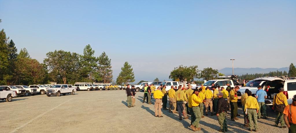
JACKSON & JOSEPHINE COUNTIES, Ore. (Aug. 19, 2022) – Firefighters working the Westside and Lightning Gulch Complexes, located in Jackson and Josephine Counties respectively, were able to hold the majority of containment lines overnight and continue to build on forward progress and mop up operations. Following a thorough run-through of the incidents in past 24 hours, the district was able to determine there are 48 fires total, eight on the Westside Complex in Jackson County and 40 on the Lightning Gulch Complex in Josephine County, affecting both private and Bureau of Land Management (BLM) land. Of the 48, 17 are completely extinguished and the remaining 33 are in various stages of being lined and mopped up.
On the Westside Complex, 60% of the accumulative fires on Tallowbox Mountain south of Applegate have been lined, and firefighters will remain engaged today. On the Lightning Gulch Complex, priorities remain the Hog Creek Fire, located north of Merlin, and the Rum Creek Fire, located near Rum Creek north of Galice, both estimated to be 30 acres in size.
Today, 17 handcrews of various size, 20 engines, seven water tenders and nine tree fallers are assigned to both complexes today and will be engaged on fires across the district. Various aircraft are available and will be utilized where necessary.
On Thursday, the death of a contract firefighter on a fire in Josephine County was confirmed by ODF and BLM officials. Preliminary information on the incident indicates the individual was critically injured after being struck by a tree, before succumbing to injuries at Asante Rogue Regional Medical Center in Medford. The individual’s name is being withheld pending coordination with next of kin. Additional information will be released as it is confirmed. On a separate fire in Jackson County on Thursday, a firefighter was removed from the line after suffering a heat-related illness. They were treated by Applegate Valley Fire District personnel at the fire’s staging area. The safety of firefighters on the line is a top priority of both agencies as work continues on Friday. Fireline leadership will be dedicating time to discussing these incidents with their teams and emphasizing the importance of prioritizing safety in all aspects of firefighting operations.
No homes are threatened, and no evacuation orders have been placed. Please be aware of any potential changes and follow Jackson County Emergency Management, Jackson County Sheriff’s Office, and the Josephine County Sheriff’s Office for any evacuation information.
Fire information is always available on our Facebook page @ODF Southwest Oregon District.
August 19, 2022
JOSEPHINE COUNTY, Ore. (Aug. 18, 2022) – Oregon Department of Forestry and Bureau of Land Management officials have confirmed the death of a firefighter on a fire in Josephine County. The incident took place on Thursday, August 18, 2022 and the individual’s name is being withheld pending notification of next of kin.
Our deepest sympathies are with the family, friends and fellow firefighters during this time. The cause is under investigation and more details will be released as they are confirmed.
August 18, 2022
JACKSON & JOSEPHINE COUNTIES, Ore. (August 18, 2022) – Despite numerous fires across Jackson and Josephine counties, firefighters were able to hold containment lines on Thursday. There are currently 56 total fires across the district following Wednesday night thunderstorms across the region, breaking down to eight in Jackson County, named as the Westside Complex, and 48 in Josephine County, called the Lightning Gulch Complex. These incidents vary in stages, from active operations to 100% lined and mopped up, affecting both private and Bureau of Land Management (BLM) land.
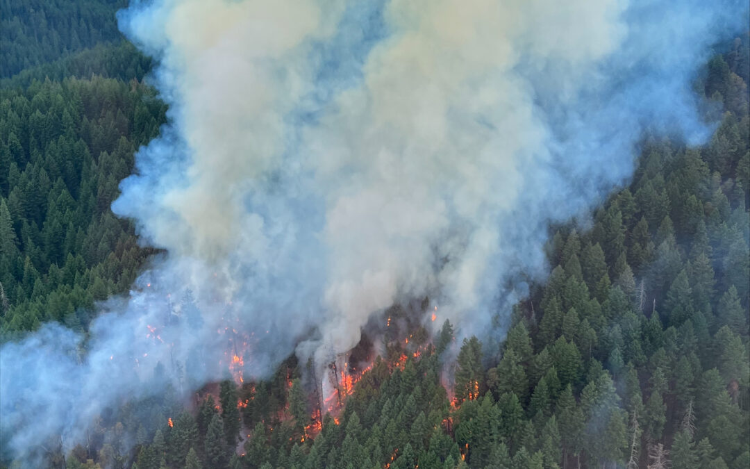
Resources were able to hold the largest fire at an estimated 40 acres on Thursday. That incident, mistaken by nightshift crews as the Tallowbox Fire, is actually the Keeler Fire. The Tallowbox Fire, originally reported as an estimated 30 acres this morning, is actually an estimated five. These neighboring incidents are two of four fires located near Tallowbox Mountain in the Applegate Valley to the east of Thompson Creek Road. In the same area, the Ladybug Gulch Fire (pictured) proved to be the most challenging of the day, requiring multiple retardant drops from ODF Large Air Taker (LAT) 104; it’s currently holding at an estimated 21 acres. The fourth fire in this location is the Tallowbox Cutoff Fire, estimated to be 1/10th of an acre, is 100% lined and 80% mopped up.
In Josephine County, the Hog Creek Fire, located north of Merlin, and the Rum Creek Fire, located near Rum Creek north of Galice, are both estimated to be 30 acres in size. The Granite Hill Fire is estimated to be 14 acres in size, located north of Grants Pass and east of Colonial Valley.
Weather conditions aided firefighters on the line, as temperatures remained cooler than expected and predicated thunderstorms did not materialize, prompting the National Weather Service Medford Office to cancel a red flag warning. These milder conditions contributed to slightly decreased fire behavior, allowing resources to hold containment lines and complete mop-up operations on some incidents.
Due to the extremely busy nature of dispatching, fires, locations, estimated sizes and containment information is still being organized. This information will be released when it is accurately complied, however priorities have remained providing updates and relaying information to our firefighters in the field and in the air on active incidents.
No homes are threatened, and no evacuation orders have been placed. Please be aware of any potential changes and follow Jackson County Emergency Management, Jackson County Sheriff’s Office, and the Josephine County Sheriff’s Office for any evacuation information.
Fire information is always available on our Facebook page @ODF Southwest Oregon District.
August 18, 2022
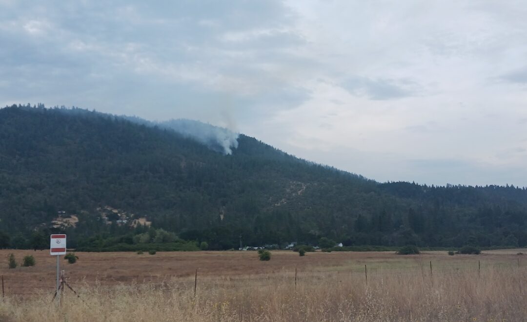
JACKSON & JOSEPHINE COUNTIES, Ore. (August 18, 2022) – Firefighters are continuing to aggressively engage on numerous fires across the Oregon Department of Forestry Southwest Oregon District following thunderstorms across Jackson and Josephine counties Wednesday night. In a 13-hour period, we have responded to approximately 50 reports of fire across both counties. We’re actively engaged on five fires on the Medford Unit that make up the Westside Complex, and 34 fires on the Grants Pass unit that make up the Lightning Gulch Complex. The largest fire is currently the Tallowbox Fire, located on Tallowbox Mountain south of Applegate; two fires merged to create this incident, currently estimated to be 30 acres in size. In Josephine County, the Granite Hill is located north of Grants Pass and east of Colonial Valley, is estimated to be five acres. Firefighters are on scene and actively engaged on this incident. The majority of fires remain small and are in mop-up phases.
Today, all 150+ district firefighters, dispatchers and detection specialists are on duty, and additional contract resources have been brought on as well, including ten 20-person crews, ten engines, two water tenders and four sets of tree fallers. We’ve also ordered an additional three Type 1 and three Type 2 helicopters to bolster our air resources. Aircraft will be utilized where needed, and the first reconnaissance flight of the day will begin at 8 a.m. to monitor current incidents, provide information from the air and scout out any new reports of fire.
ODF leadership is dividing these incidents by area to ensure experienced personnel are engaged on the line with firefighters today. Four supervisors will each take a quarter of the two-county area, with an additional supervisor available to handle initial attack on new fire starts within the district.
We’re currently working to create a list of fire names, locations, sizes and personnel, however there is a lot of information to sort through to ensure accurate information. Weather conditions will support increased fire activity, including a red flag warning and threat of thunderstorms that are expected to remain in effect throughout the day. There will likely be additional holdover fires and new starts that ignite today; if you see new smoke in your area, please report it by calling 911.
At this time, no homes are threatened, and no evacuation orders are in place. Please be aware of any potential changes and follow Jackson County Emergency Management, Jackson County Sheriff’s Office, and the Josephine County Sheriff’s Office for any evacuation information.
Firefighters are dedicated to protecting our counties and aggressively attacking fires. We appreciate the support of our partner agencies and communities as we continue to engage on these incidents.
Fire information is always available on our Facebook page @ODF Southwest Oregon District.
August 4, 2022
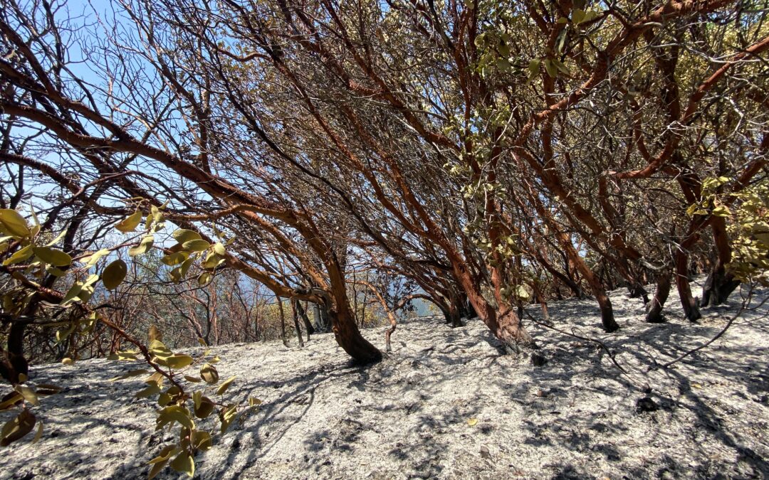
ROGUE RIVER, Ore. (August 4, 2022) – Progress on the Wards Creek Fire, located in the hills above the 3100-block of Wards Creek Road east of Rogue River, continues to be steady, as perimeter fire lines held strong on Thursday and mop-up operations kicked into high gear. The fire is 40% mopped up, reaching 50 feet in around the entire perimeter. The fire is 17 acres, burning on Bureau of Land Management (BLM) and private land. The cause was determined to be lightning.
Overnight, resources will remain dedicated to mop-up operations and strengthening perimeter lines. The Wards Creek Fire was first reported Tuesday night at approximately 9 p.m. as a single tree on fire that was spreading to the surrounding area. The terrain is extremely steep with dense brush; along with these factors, limited road access and hot conditions challenged firefighters. Despite many homes in the area, evacuations were never necessary.
Due to the steady progress on this incident, this will be the final update unless conditions significantly change. Smoke may still be visible while mop-up operations continue. Fire information is always available on our Facebook page @ODF Southwest Oregon District.
August 4, 2022
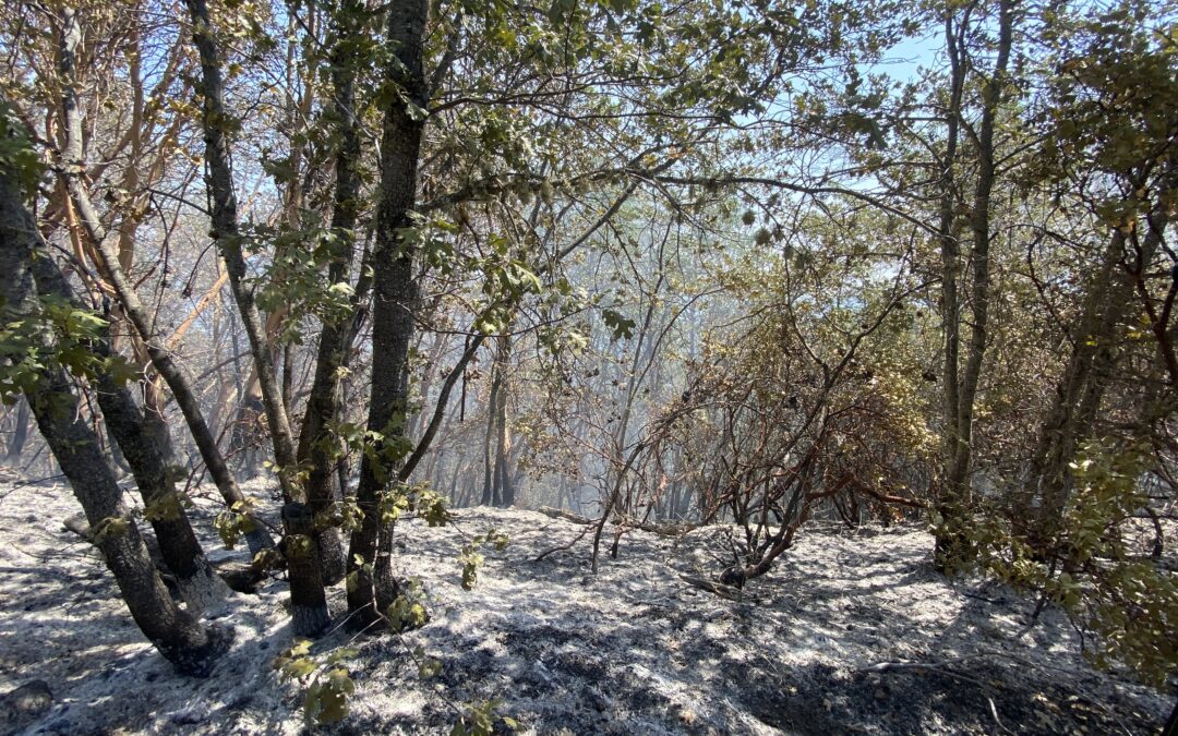
ROGUE RIVER, Ore. (August 4, 2022) – Firefighters on the Wards Creek Fire, located in the hills above the 3100-block of Wards Creek Road east of Rogue River, made excellent progress overnight, completely lining the perimeter of the fire and beginning mop-up operations. The fire was GPS mapped overnight and was found to be 17 acres in size. The fire was lightning-caused and is burning on Bureau of Land Management (BLM) and private land.
Overnight, firefighters were able to plumb the entire fire with hose, providing water access to the entire incident. This has been a challenge since the fire was first reported on Tuesday night, as it’s burning on a steep slope in dense brush. Today, three 20-person crews, a water tender, a bulldozer and ODF overhead personnel are assigned to the fire, and aircraft will be utilized as needed. Resources will continue mopping up, and focus on securing and holding containment lines. Due to the steepness of the ground, mop-up operations may take longer, as crews work to be thorough in this effort.
The health and safety of our firefighters remains a top priority, and breaks will be a focus on the line. Temperatures are expected to be slightly cooler today, although the high remains in the mid-nineties. Significantly less windy conditions should also decrease fire behavior, and not challenge crews as much as yesterday.
There are currently no structures threatened. Smoke may still be visible while mop-up operations continue. Fire information is always available on our Facebook page @ODF Southwest Oregon District.
August 3, 2022
ROGUE RIVER, Ore. (August 3, 2022) – Despite numerous challenges, firefighters are holding containment lines on the Wards Creek Fire, located in the hills above the 3100-block of Wards Creek Road east of Rogue River. The fire continued to push to the east, growing to an estimated 10 acres, however it remains 40% lined. The fire is burning on private and Bureau of Land Management land and determined to be caused by lightning.
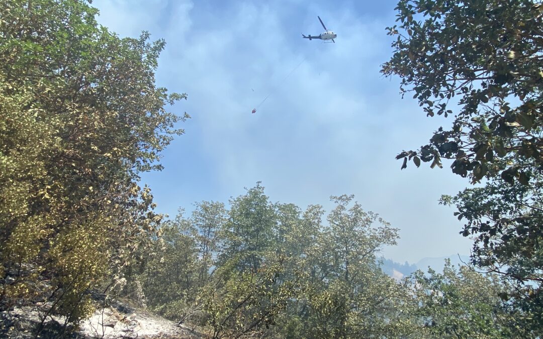
On Wednesday, three 20-person crews were assigned to the incident, as well as numerous engines, tree fallers, a water tender, bulldozer, and two Type 2 helicopters. Increased heat in addition to steep terrain and dense brush fueled fire behavior. Tanker 104 was ordered to drop two loads of retardant on the east flank, bolstering perimeter lines. Meanwhile, tree fallers were able to remove roughly 50% of the hazardous trees on the fire, greatly reducing the risk to firefighters on the incident. This work will continue on Thursday.
During Wednesday’s dayshift, a firefighter suffered a heat-related illness while on the line. With the help of the Jackson County Sheriff’s Office and Brim Aviation, the firefighter was transported by air to the bottom of the road and taken to Three Rivers Medical Center by Jackson County Fire District 1 personnel. Tonight, the firefighter is reported to be in stable condition. Hydration and breaks are a priority on the fire line, and as temperatures continue to trend upward, the safety of firefighters remains a top priority.
Overnight, three new 20-person hand crews will be assigned to the incident, along multiple engines, a water tender and ODF overhead personnel. Goals remain closing the fire line, and firefighters will take advantage of cooler conditions overnight to continue this progress. At this time, no structures are threatened.
Fire information is available on our Facebook page @ODF Southwest Oregon District.
August 1, 2022
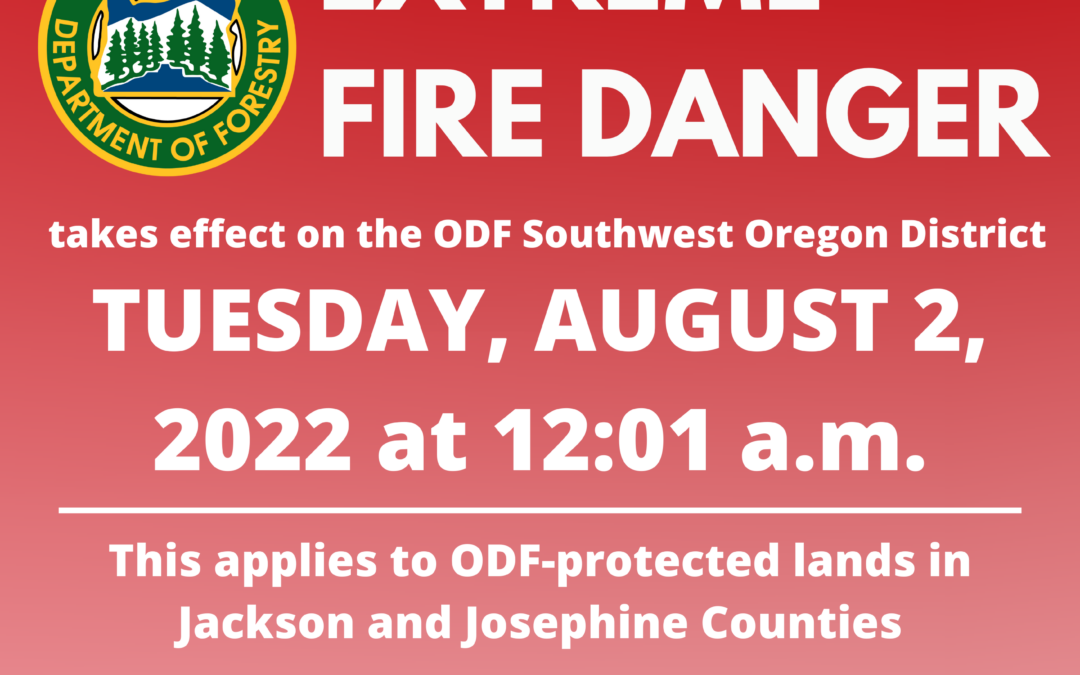
JACKSON & JOSEPHINE COUNTIES, Ore. (August 1, 2022) – Due to dry vegetation, hot conditions, thunderstorms and numerous active fires in the region, the fire danger level on lands protected by the Oregon Department of Forestry in Jackson and Josephine counties will increase to “extreme” (red) at 12:01 a.m. on Tuesday, August 2, 2022. The Industrial Fire Precaution Level (IFPL) will remain at Level 2 (two). These regulations impact 1.8 million acres of state, private, county, city and Bureau of Land Management lands protected by ODF’s Southwest Oregon District.
Beginning Tuesday morning at 12:01 a.m., the following public fire restrictions will take effect:
- The use of power saws is prohibited, excluding electric chainsaws.
- The cutting, grinding and welding of metal is prohibited.
- The mowing of dry or dead grass is prohibited.
- The operation of any other spark-emitting internal combustion engine not specifically mentioned above is prohibited.
The following fire prevention regulations are currently in effect and will remain in effect until the fire danger level drops significantly:
- Smoking is prohibited while traveling, except in vehicles on improved roads, in boats on the water, and designated locations.
- Debris burning, including the use of burn barrels, is prohibited.
- Open fires are prohibited, including campfires, charcoal fires, cooking fires and warming fires, except in approved fire rings at designated campgrounds. In other locations clear of vegetation, portable cooking stoves using liquefied or bottled fuels are allowed.
- Fireworks on or within 1/8th of a mile of forestland are prohibited.
- Any electric fence controller in use shall be listed by a nationally recognized testing laboratory or be certified by the Department of Consumer and Business Services; and operated in compliance with the manufacturer’s fire-safe instructions.
- The use of exploding targets is prohibited.
- The use of tracer ammunition or any bullet with a pyrotechnic charge in its base is prohibited.
- Motor vehicles, including motorcycles and all-terrain vehicles, may only be used on improved roads free of flammable vegetation, except when used for the commercial culture and harvest of agricultural crops.
- Possession of the following firefighting equipment is required while traveling, except on state highways, county roads and driveways: one shovel and one gallon of water or one 2.5 pound or larger fire extinguisher. All-terrain vehicles and motorcycles must be equipped with one 2.5 pound or larger fire extinguisher.
For more information about the Oregon Department of Forestry Southwest Oregon District’s fire season restrictions, visit our website, www.swofire.com or our Facebook page @ODF Southwest Oregon District.
July 26, 2022
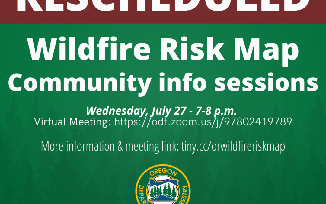
SALEM, Ore.— The Oregon Department of Forestry (ODF) is canceling the July 26 community information session scheduled in Grants Pass. The July 27 information session scheduled in Medford will now be a virtual meeting only. Anyone may attend the virtual session.
ODF’s information session in Grants Pass was canceled due to concern for the physical safety of attendees and ODF employees. The safety of the communities we serve and our employees is our top priority. We want the opportunity to talk with people about their concerns and questions about the wildfire risk map, which is why we’re still hosting a virtual meeting Wednesday evening. We understand that there are Oregonians who need an in-person participation option. We’ll be looking for future opportunities to have an in-person meeting in southwest Oregon in the near future.
The virtual meeting will be held through Zoom from 7-8 p.m. Wednesday, July 27. Join the meeting through this link: https://odf.zoom.us/j/97802419789.
Each information session will include a presentation about the map’s function and purpose, how wildfire risk is assessed, and how property owners may appeal their assigned risk class. Time will be available to address questions from community members.
The wildland-urban interface (WUI) and statewide wildfire risk map available through the Oregon Explorer is a tool to help inform decision making and planning related to mitigating wildfire risk for communities throughout Oregon.
Representatives from Oregon State University who produced the map based on rules adopted by the Board of Forestry will also attend the sessions.
Property owners in the high and extreme risk classes have received written notice from ODF indicating the property’s risk class and whether it’s in the wildland urban interface. The notice will inform them if they may be subject to future defensible space or building code requirements and how to find information on those requirements. It will also provide information on the process to appeal a property’s risk classification.
For properties in the WUI and a risk classification of high or extreme, Senate Bill 762 requires actions to help mitigate the risk of wildfire through adoption of defensible space and home hardening building codes. Oregon State Fire Marshal is passing defensible space code requirements through a public process. Code adoption of defensible space requirements will occur December 2022, after the map validation and appeals period is closed. Those requirements won’t apply until later. Visit OSFM’s website for more information. Building Codes Division (BCD) will adopt home hardening building codes through a public process. Building codes will be adopted October 1, 2022 and will be effective April 1, 2023. Visit BCD’s website for more information. Visit Division of Financial Regulation for information on insurance related to the wildfire risk map.