
There is a community meeting planned for Sunday, July 19, 2026, at 2:00 p.m. to provide a brief operational update on the fire:
In Person: Shady Cove School Gym, 100 Cleveland St, Shady Cove, OR 97539
Stream online via: Facebook.com/ODFSouthwest
Increased temperatures and gusty winds push Board Mountain spot fire southwest across control lines
Upgraded evacuation levels have been put in place by the Jackson County Sherrif’s Office
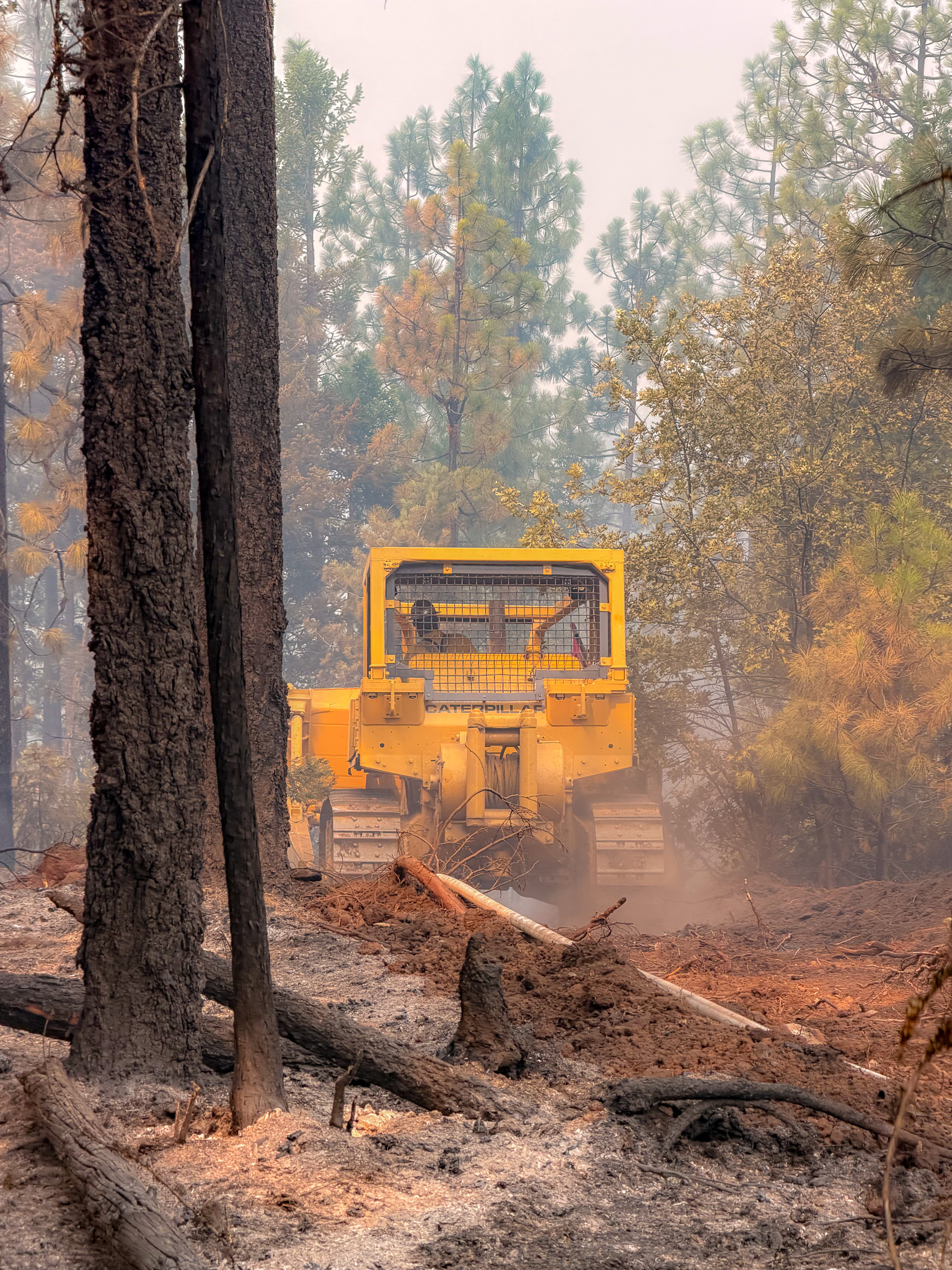
SAMS VALLEY, Ore. – Today, crews working on the East Evans Creek Fire faced increased fire behavior due to warmer temperatures, lower humidity, and gusty winds. These conditions tested firelines in many places, but firefighters quickly caught many of the spot fires and slopovers. Firefighters anticipated these changing conditions and placed additional resources in these challenging areas.
On the southwestern edge of the Board Mountain spot fire, the fire pushed across containment lines and spotted into adjacent wildland fuels south of Boswell Mountain, this spot fire is estimated to be 150 acres. Air tankers were immediately ordered, and additional helicopters were launched to support suppression operations and reduce fire behavior, allowing firefighters to construct direct fireline.
Along the northern edge the Board Mountain, spot fires also challenged firefighters, pushing against the line in several places. Firefighters were able to catch areas where fire moved across the line, establishing new fireline and rapidly cooling these areas. Significant areas of unburned fuel and vegetation in this area have made it difficult to hold the fire within the line. Tonight, firefighters may use tactical firing operations to remove this fuel adjacent to the fireline in a controlled operation to secure the fire in this area.
Firefighters continued extensive mop-up on the Canyon Creek spot fire, furthest to the east. This fire held within control lines as firefighters continued to work interior of the fire perimeter reducing heat and eliminating hot spots. Structural resources continued working within the Shady Cove, Trail, and Ramsey Canyon Road communities to proactively triage homes and reinforce structural protection plans.
Along the perimeter of the spot fire northwest of Hull Mountain, crews worked to connect portions of fireline in steep, rugged terrain. Line construction has challenged firefighters, but they continue making progress to limit fire growth. Structural preparation in this area is nearly complete, and coordinated efforts have worked to increase water availability to strengthen suppression efforts.
On the main fire, work remains focused on mop-up, further strengthening of the fireline, and felling snags to reduce overhead hazards. Firefighters are using handheld infrared cameras near firelines and homes to help detect areas of heat buried underground. Once identified, crews expose and extinguish these areas, using water and tools to prevent rekindles.
This morning’s inversion limited aircraft use due to poor visibility. However, this afternoon, aircraft were used to cool areas of the fire, allowing firefighters to construct fireline directly adjacent to the fire and reduce potential growth. A similar inversion is expected tomorrow morning.
Hotter, drier weather is expected with increased instability and winds over the next several days, with the potential for thunderstorms. This expected weather, along with dry fuels receptive to ignition from embers or lightning, is a concern for firefighters.
Evacuations: There are evacuations in place in both Jackson and Douglas counties, issued by both counties’ Sheriff’s Offices and Emergency Management. Up-to-date evacuations are available here: https://readyjacksonco.com/Emergency/emergency-information-hub-east-evans-creek-road-fire
Find your evacuation zone here: https://tinyurl.com/EastEvansCreekFireEvacMap
Road/Land Closures: The Tiller-Trail Highway is closed at the county border in Jackson County to Highway 62. Traffic is closed to the public on East Evans Creek Road at Meadows Road. The BLM has issued a road closure for West Fork Evans Creek Road and Rock Creek Road. Please avoid the fire area to allow firefighters and heavy equipment to operate safely. Road closure information is available on https://tripcheck.com/
A closure order for BLM-administered lands near the East Evans Creek Fire is in place. Public entry, including hunting, hiking, and camping, is prohibited. More information about the closure, including a map, is available online at www.blm.gov/orwafire.
Smoke Impacts: Smoke from the East Evans Creek Fire may settle into valleys and other low-lying areas, reducing visibility and impacting air quality in nearby communities. Smoke conditions can change throughout the day as winds shift. Individuals sensitive to smoke should take appropriate precautions. For current air quality information and smoke forecasts, visit: https://fire.airnow.gov/.
Temporary Flight Restriction (TFR): A “TFR” is in place for the fire area daily (24 hours) until further notice. Complete information is available at https://tfr.faa.gov/tfr3/?page=detail_6_4915
Flying a drone near or around a wildfire is illegal and compromises the safety of both pilots and firefighters and interferes with firefighting efforts.
Cause: The fire started on Friday, July 10th at 2:41 p.m. after a car crashed into a power pole, sparking dry vegetation in the area. The Jackson County Sheriff’s Office is currently investigating the cause of the crash.