SWO FIRE NEWS
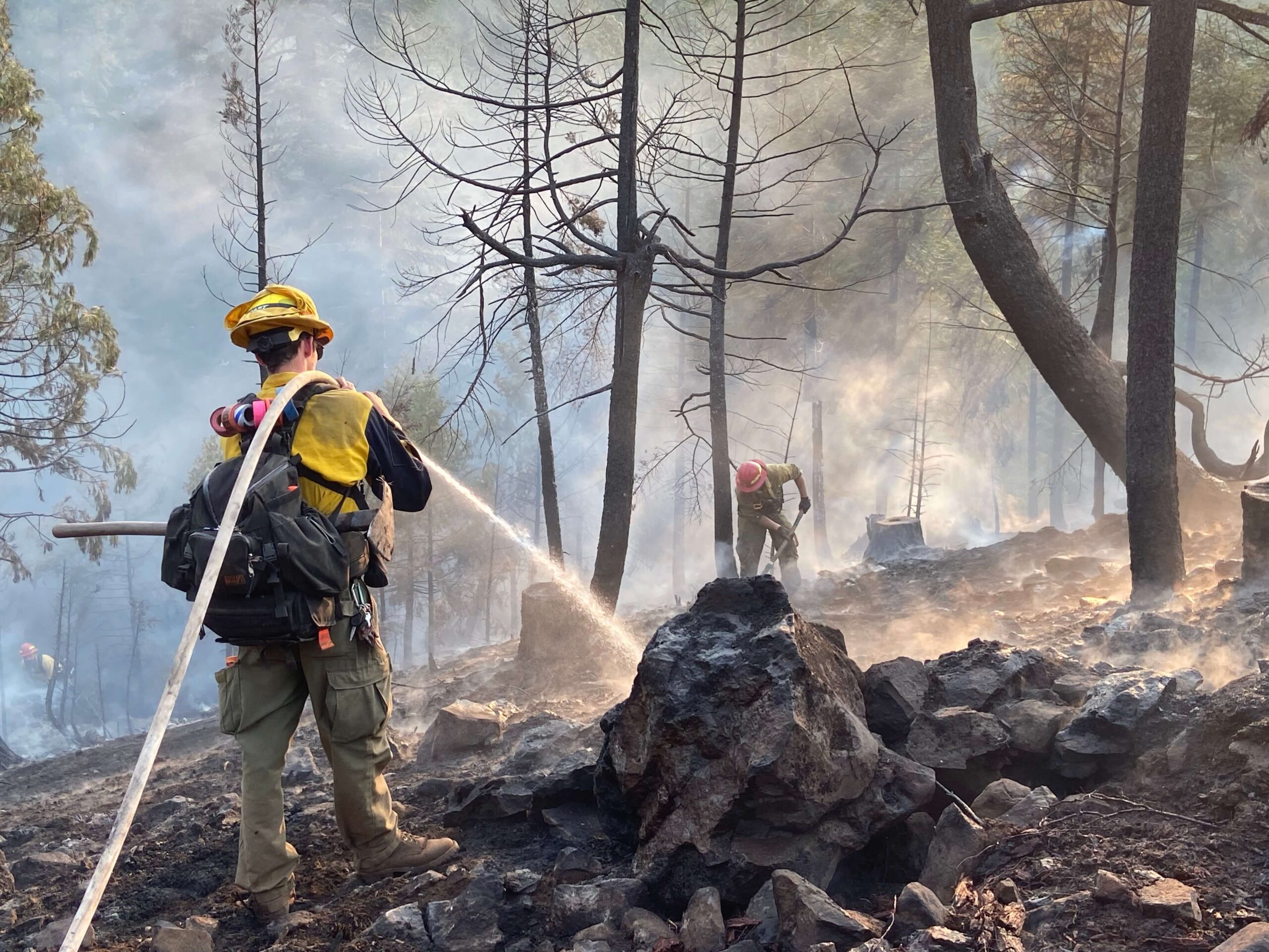
The official wildfire news blog for the Oregon Department of Forestry's Southwest Oregon DistrictRamsey Canyon Fire 08/23/18 AM Update
#QuickFacts:Incident Start Date: 8/22/2018Incident Start Time: Approx. 12:45 p.m.Incident Type: WildfireCause: Under InvestigationIncident Location: near Sams Valley, Jackson County, OregonLand Threat: Private, BLM, IndustrialCommand Agency: ODFFire Size: 800...
08/09/18 Garner Complex FINAL Update: Firefighter Efforts Continue to Boost Containment on Garner Complex
The Oregon Department of Forestry Southwest Oregon District has completed a smooth transition with Florida Forest Services Red Team and is now assuming command of the Garner Complex, effective immediately. While this does mean that some out-of-area resources are...
Garner Complex Update 8-6-18
Daily Update 8-6-18 9:00 a.m.QUICK FACTS:Size: 8,886 acresChange in last 24 hrs. 0 acresContainment: 82% - Garner ComplexStart Date/Time: 7/15/2018 9:00 a.m.Expected Containment Date: 8/10/18Location: Jackson CountyCause: LightningEst. Cost: $41,180,000...
Garner Complex Update 8-5-18
GARNER COMPLEX #UPDATEDaily Update 8-5-18 11:00 a.m.QUICK FACTS:Size: 8,886 acresChange in last 24 hrs. 0 acresContainment: 75% - Garner ComplexStart Date/Time: 7/15/2018 9:00 a.m.Expected Containment Date: 8/10/18Location: Jackson CountyCause: LightningEst....
Garner Complex Update 8-4-18
GARNER COMPLEX #UPDATEMorning Update 8-4-18 - 9:00 a.m.Reminder: From here one out only a morning update will be provided daily.QUICK FACTS:Size: 8,886 acresChange in last 24 hrs. 0 acresContainment: 75% - Garner ComplexStart Date/Time: 7/15/2018 9:00...
Garner Complex Evening Update 8-3-18
GARNER COMPLEX #UPDATEEvening Update 8-3-18 - 9:30 p.m.QUICK FACTS:Size: 8,886 acresChange in last 24 hrs. 0 acresContainment: 75% - Garner ComplexStart Date/Time: 7/15/2018 9:00 a.m.Expected Containment Date: 8/10/18Location: Jackson CountyCause: LightningEst....
Garner Complex Update 7-31-18 11:00 pm
GARNER COMPLEX #UPDATEEvening Update 7-31-18 - 11:00 pm(NOTE: The Taylor Creek fire statistics will be reported in a separate report and no longer included in the Garner Complex Quick Facts or updates. Taylor Creek updates will be Taylor Creek Fire...
Garner Complex Morning Update 7-31-18 12:00 pm
GARNER COMPLEX #UPDATEMorning Update 7-31-18 - 12:00 pm(NOTE: The Taylor Creek fire statistics will be reported in a separate report and no longer included in the Garner Complex Quick Facts or updates. Taylor Creek updates will be at Taylor Creek Fire...
Garner Complex Morning Update – 7-30-18 – 9:00am
GARNER COMPLEX #UPDATEMorning Update 7-30-18 - 9:00am(NOTE: The Taylor Creek fire statistics will be reported in a separate report and no longer included in the Garner Complex Quick Facts or updates)QUICK FACTS: Size: 8,886 acres (No Taylor Creek)Change in last 24...
Garner Complex Evening Update – 7-29-18 10:00PM
GARNER COMPLEX #UPDATEEvening Update 7-29-18 - 10:00pmQUICK FACTS:Size: 31,660 acresChange in last 24 hrs. +2,748 acresContainment: 60% - Garner ComplexTaylor Creek Fire - 8%Start Date/Time: 7/15/2018 9:00a.m.Expected Containment Date: 8/7/18Location: Josephine...
Garner Complex Morning Update – 7-29-18 8:00am
GARNER COMPLEX #UPDATEMorning Update 7-29-18 - 8:00amQUICK FACTS:Size: 31,660 acresChange in last 24 hrs. +2,748 acresContainment: 30% - Garner ComplexTaylor Creek Fire - 8%Start Date/Time: 7/15/2018 9:00a.m.Expected Containment Date: 8/7/18Location: Josephine...
Garner Complex Evening Update – 7-28-18 – 9:00pm
GARNER COMPLEX #UPDATEEvening Update 7-28-18 - 9:00pmQUICK FACTS:Size: 29,039 acresChange in last 24 hrs. +3,942 acresContainment: 30%Start Date/Time: 7/15/2018 9:00a.m.Expected Containment Date: 8/7/18Location: Josephine CountyCause: LightningEst. Cost: $27.1...
ODF SOUTHWEST OREGON DISTRICT
Office Hours
8 a.m. – 5 p.m. M – F
Grants pass
541-474-3152
5375 Monument Drive
Grants Pass, OR 97526

