SWO FIRE NEWS
The official wildfire news blog for the Oregon Department of Forestry's Southwest Oregon DistrictFlounce Fire Grows to 600 Acres
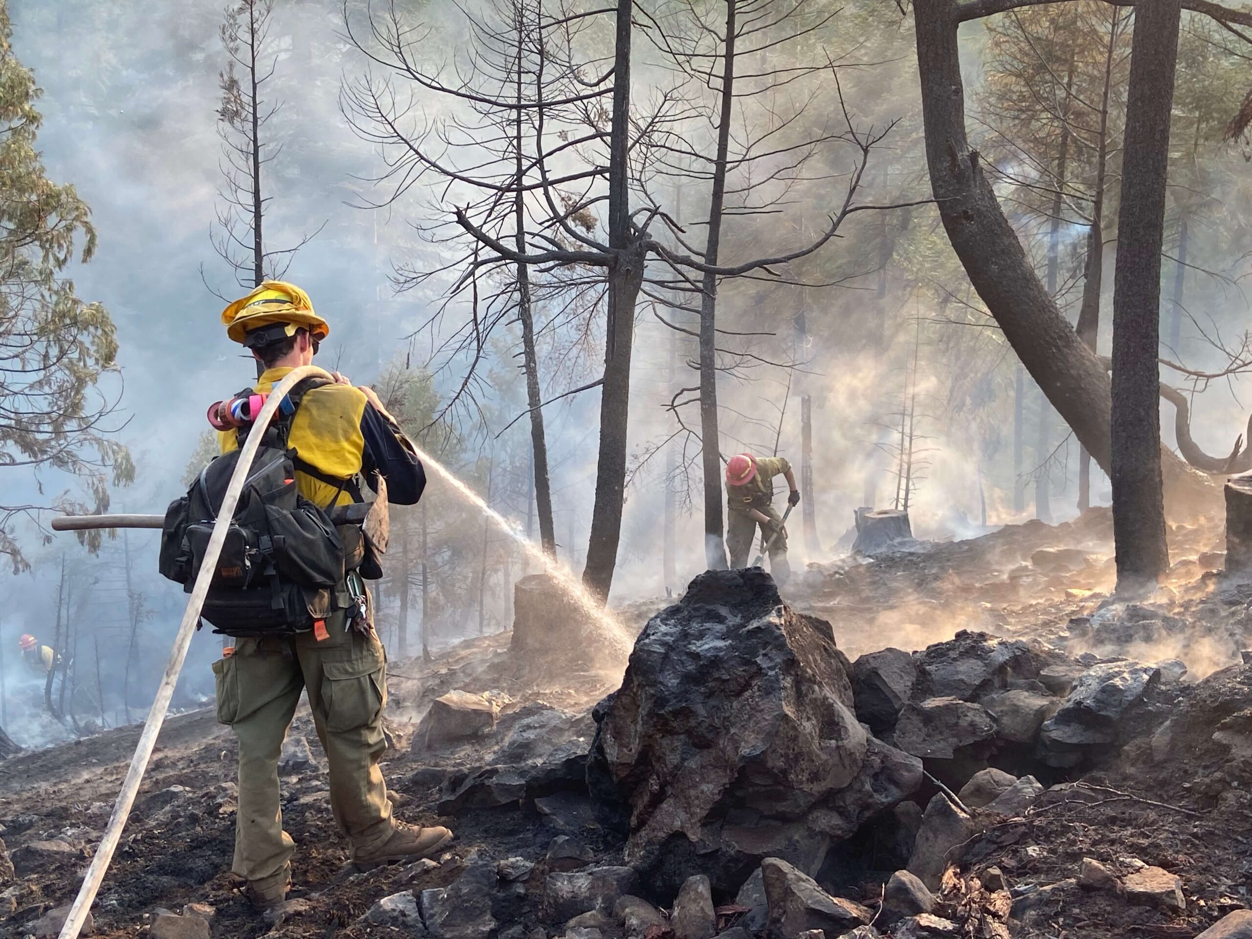
A force of more than 300 firefighters worked throughout the day to relocate fire lines on the northeast and northwest flanks of the Flounce Fire, burning on private and Bureau of Land Management forestlands roughly 12 miles northeast of Shady Cove. The fire grew along...
Flounce Fire Burns 250 Acres Northeast of Shady Cove
ODF Southwest firefighters worked throughout the night constructing fire line on the Flounce Fire, located approximately 12 miles northeast of Shady Cove. The Flounce Fire was first reported as two separate fires around 4:56 p.m. Monday. The main fire burned nearly 50...
Firefighters Searching for Lightning-Sparked Wildfires
ODF Southwest Oregon District firefighters are responding to numerous lightning-sparked wildfires throughout Jackson County.The #FlounceFire, which is currently the largest, is estimated to be approximately 10 acres, located 2 miles northeast of Lost Creek...
Firefighters Holding Long Gulch Fire at 2.5 Acres
Despite the challenging terrain and extreme heat, firefighters stopped and are holding the Long Gulch Fire at 2.5 acres tonight. The fire is 100 percent lined. The fire burning on Bureau of Land Management forestland is roughly two miles north of Bear Camp, west of...
Burnt Peak and Savage Creek Fires in Extensive Mop Up
Both the Burnt Peak Fire, located roughly 13 miles northeast of Shady Cove, and the Savage Creek Fire, located off Savage Creek Road near Grants Pass, will both be in extensive mop up throughout the remainder of this week.The 31-acre Burnt Peak Fire is now 67 percent...
Industrial Fire Precaution Level Rises on ODF-Protected Lands Tomorrow
Increased fire danger on forestlands protected by the Oregon Department of Forestry’s Southwest Oregon District has made it necessary to increase the fire prevention measures on industrial operations, such as logging sites and other commercial operations. Industrial...
GPS Mapping Shows Burnt Peak Fire at 31 Acres
Today, firefighters walked the perimeter of the Burnt Peak Fire allowing for more accurate information to be gathered. Firefighters used GPS points from the ground to determine that the fire is 31 acres as of this afternoon. The fire is 30 percent contained. No...
Burnt Peak Fire Burns Approximately 60 Acres
At approximately 6:15 p.m., an Oregon Department of Forestry Southwest Oregon District reconnaissance aircraft was searching for a report of smoke in the area just north of Butte Falls. Air attack not only located the Olsen Fire which was knocked down at 1/10thof an...
If You Fly, We Can’t: Drone Grounds Firefighting Aircraft in Southwest Oregon
On Sunday, a grass fire off Interstate 5 and milepost 55 in Grants Pass was quickly knocked down at a half-acre; however, every firefighter on the ground and in the air faced an additional risk when a hobby drone was spotted in the...
Fire Danger Level Increases Monday on ODF-Protected Lands
The fire danger level on lands protected by the Oregon Department of Forestry in Jackson and Josephine counties rises to “extreme” (red) at 12:01 a.m. Monday, July 31. This affects 1.8 million acres of state, private, county and Bureau of Land Management lands within...
Firefighters Stop North River Road Fire at just over Three Acres
Firefighters halted the North River Road Fire at 3.2 acres just around noon today. The initial report came in just before 10:30 a.m. with an estimated size of 1/100th of an acre. Within minutes, the fire spread upslope behind two homes off the 3800 block of N. River...
Fire Prevention Regulations Increase for Industrial Operations Tomorrow
Increased fire danger on forestlands protected by the Oregon Department of Forestry’s Southwest Oregon District has made it necessary to increase the fire prevention measures on industrial operations, such as logging sites and other commercial operations.The...
ODF SOUTHWEST OREGON DISTRICT
Office Hours
8 a.m. – 5 p.m. M – F
Grants pass
541-474-3152
5375 Monument Drive
Grants Pass, OR 97526

